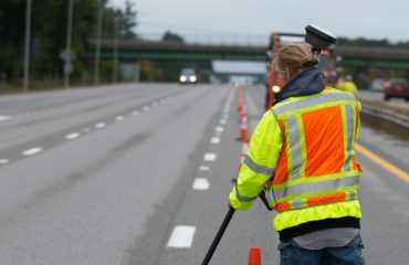
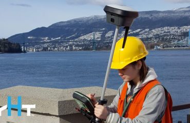
If your RTK rover could see, how would that transform the services you offer your clients? What new doors would it open? Here’s one idea to consider.
Solar energy is on the rise. According to the Solar Energy Industries Association, the U.S. solar market is expected to grow by 42% over the next five years. Whether solar arrays are on a solar farm or installed on rooftops, a survey is usually required as an essential first step, and that’s good news—if you have the right technologies to fill the need.
For rooftop solar arrays, unmanned aircraft systems (UAS) or drones are one way to capture measurements, generate point clouds or create orthorectified images. (RELATED: Can you achieve survey-quality results with an unmanned aircraft system?) But if you don’t have an FAA Part 107 certification, or if you need to capture an oblique view or fill in areas where there are flight restrictions, you need a different approach. The introduction of GNSS with visual positioning provides a new solution.
With the Leica GS18 I GNSS RTK rover, you can walk the roof in minutes and create a dense point cloud from the imagery. You can then digitize and measure single points, document the area, and use that data on its own or with data from drone imagery for the solar array design.
Watch the video below to explore this application in more detail.
Note: This video clip is from a webinar presented Sept. 17, 2020. Watch the full webinar here.
You can also download a PDF summary of the Q&A webinar. Download the PDF here.
To learn more about solutions to maximize your surveying potential, please contact us .


