Video Review: Leica AP20 AutoPole with MicroSurvey CAD Is ‘A Fantastic Productivity Tool’
Thursday, 15 June 2023
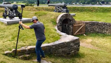
Jacob Wall, BCLS, owner of Summit Land Surveying, shares his insights and shows an automated workflow capability you might not know exists within the software.
- Published in Grow Your Business
Video: Easy Scanning, Import, and Editing with a Scanning Total Station and Surveyor-Focused CAD Software
Wednesday, 15 February 2023
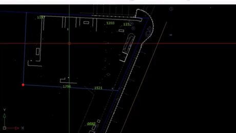
Leica Geosystems’ Andrew Gillis and MicroSurvey’s Kailey Graves show how to streamline an as-built survey workflow by pairing the MS60 MultiStation with MicroSurvey CAD software.
- Published in Improve Your Skills
Video: A High-Speed Workflow for RTK GNSS to CAD Deliverables
Friday, 06 January 2023
Leica Geosystems’ Andrew Gillis and MicroSurvey’s Kailey Graves show how to seamlessly integrate a top-line rover with MicroSurvey CAD.
- Published in Improve Your Skills


