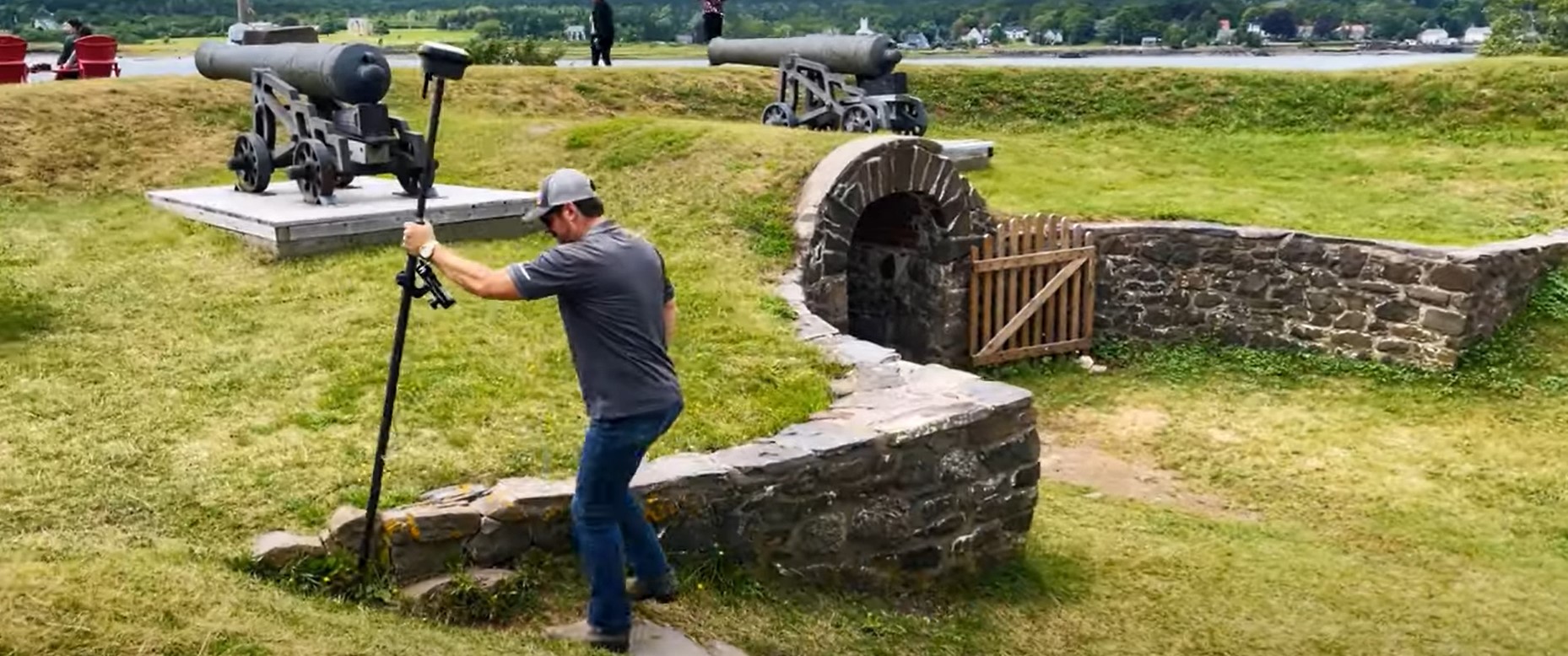
Leica Geosystems’ Andrew Gillis and MicroSurvey’s Kailey Graves show how to seamlessly integrate a top-line rover with MicroSurvey CAD.
State-of-the-art RTK rovers include tilt compensation, and the most advanced system, the Leica GS18 I, also offers photogrammetric data capture while retaining centimeter-level accuracy. But a mispairing of field tools with in-office software can adversely affect productivity gains if transferring and editing survey data into CAD software becomes a tedious chore. And additional capabilities on a rover, however useful, may only increase workflow complications if the new tool isn’t compatible with your software.
So does pairing the GS18 I and MicroSurvey CAD pass the ease-of-use test?
Using GNSS data from a topographic survey at Fort Anne National Historic Site, Kailey Graves from MicroSurvey demonstrates how easily data flows from the GS18 I into MicroSurvey CAD. With easy import for .DBX files into MicroSurvey CAD and a field-to-finish system that combines the best of MicroSurvey CAD AutoMap and Leica feature codes, efficiency in the field and the office can grow together.
Watch the video to learn more.
To talk to one of our experts and learn more about ways to optimize your surveying potential, please contact us.


