Jacob Wall, BCLS, owner of Summit Land Surveying, shares his insights and shows an automated workflow capability you might not know exists within the software.
Surveying and engineering firms often find their productivity throttled by traditional methods of measurement that require extensive manual adjustments and leveling routines. Digitizing and automating workflows can help eliminate these bottlenecks. In some cases this requires a technology investment, but you might also be overlooking opportunities for automation that exist within your current workflows.
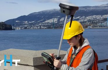
Jacob Wall, BCLS, Owner of Summit Land Surveying, explains how the Leica AP20 AutoPole has boosted productivity in the field for his company and their topographic surveys. The smart prism pole system simplifies surveying with capabilities such as tilt compensation, automatic pole height updates, and advanced target identification. The robust features of the pole have simplified surveying into walking with the pole, placing it at the necessary point, clicking a button for data capture, and then walking to the next point. No need to stop to level the pole or log height adjustments.
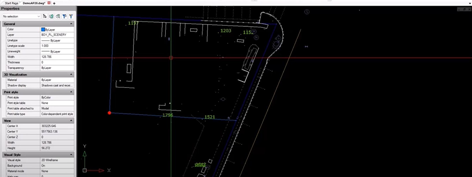
But it isn’t just the fieldwork that has given Jacob and his crews significant time savings. As users of MicroSurvey CAD, the firm has also benefited from streamlined workflows and automation in the software. Jacob explains how the integration of Leica AP20 with MicroSurvey CAD accelerates linework and mapping while negating the need for manual imports, reducing potential errors and project timeline delays. He shows how easily a dataset collected by AP20 integrates into MicroSurvey CAD – including an automated workflow capability you might not know exists within the software.
Watch the video to learn more.
To talk to one of our experts and learn more about ways to optimize your surveying potential, please contact us.

