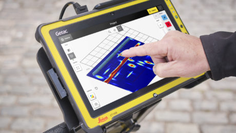
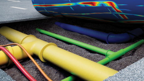
Detection Demo: See How to Achieve Safe, Easy and Efficient 3D Utility Mapping
Friday, 18 June 2021
by Christine Grahl
From the productivity gains of seamless software integration to the ability to see underground GIS utilities in real time with AR, the latest innovations provide big benefits
- Published in Improve Your Skills
GIS Demo: See How to Achieve Fast, Accurate GIS Data Collection
Friday, 18 June 2021
by Christine Grahl
From the productivity gains of seamless software integration to the ability to see underground GIS utilities in real time with AR, the latest innovations provide big benefits
- Published in Featured Improve Your Skills, Improve Your Skills
Explore the Latest in GIS and Utility Mapping at the 2021 Esri UC
Wednesday, 09 June 2021
by Christine Grahl
From the productivity gains of seamless software integration to the ability to see underground GIS utilities in real time with AR, the latest innovations provide big benefits
- Published in Improve Your Skills
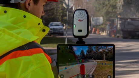
How the Latest GNSS Innovation Keeps Utility Surveyors Safer
Wednesday, 02 September 2020
by Christine Grahl
The ability to capture accurate points from a distance with images provides a significant leap in safety and efficiency for subsurface utility engineering.
- Published in Improve Your Skills
Tagged under:
AS-BUILT SURVEYS, GNSS, GS18I, INNOVATION, Smart Antennas, UTILITY DETECTION, UTILITY SURVEYING, VISUAL POSITIONING


