From the productivity gains of seamless software integration to the ability to see underground GIS utilities in real time with AR, the latest innovations provide big benefits.
Note: By filling out this form, you will be registered to receive a link to the on-demand sessions listed below after the Esri UC virtual conference ends on July 15. To view the live sessions, register to attend the Esri UC virtual conference and then visit the Leica Geosystems virtual booth, V242.
Every 60 seconds, an underground utility strike occurs. In 2019, the latest year for which data is available, damage to buried infrastructure in North America rose 4.5% compared to 2018, continuing an upward trend over the last five years. The cost of these damages in the U.S. for 2019 alone is estimated at $30 billion. While no effort was made to locate the utilities in 29% of these incidents, 10% were caused by inaccurate markings due to locator error. Problems such as unmarked utilities, unlocatable utilities, and incorrect or incomplete maps were other significant contributors.
Continued innovations in GIS and utility detection technology offer a solution by making underground utilities easier to find and map accurately. Two live demos at the virtual 2021 Esri User Conference July 12-15 will give you an opportunity to explore the latest developments. Sign up now to get access to the recordings after the conference.
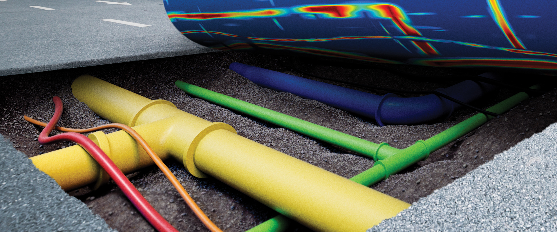
What’s the best way to avoid utility strikes? Take a journey with Simon Pedley to experience the groundbreaking potential of GPR with automated data analysis and 3D utility mapping.
GIS DEMO:
See how to achieve fast, accurate GIS data collection
Tuesday, July 13, 11 am PDT / 2 pm EDT

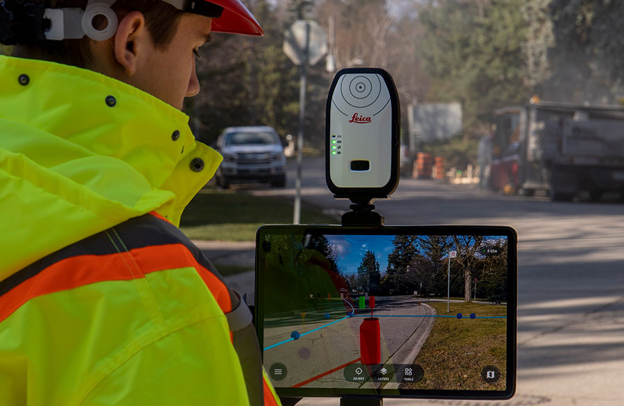
Learn how you can benefit from the integrated data flow between Leica Zeno Mobile and the Esri ecosystem. Explore the data accessibility of FLX100/GG04 plus and connectivity to Field Maps and Collector. See how technology integrations are transforming GIS data into real-time augmented reality (AR) displays and holograms. And discover how HxGN SmartNet and smart positioning technology can take your GIS capabilities to the next level.
To talk to one of our experts and learn more about how to optimize your surveying and mapping potential with technology, please contact us.


