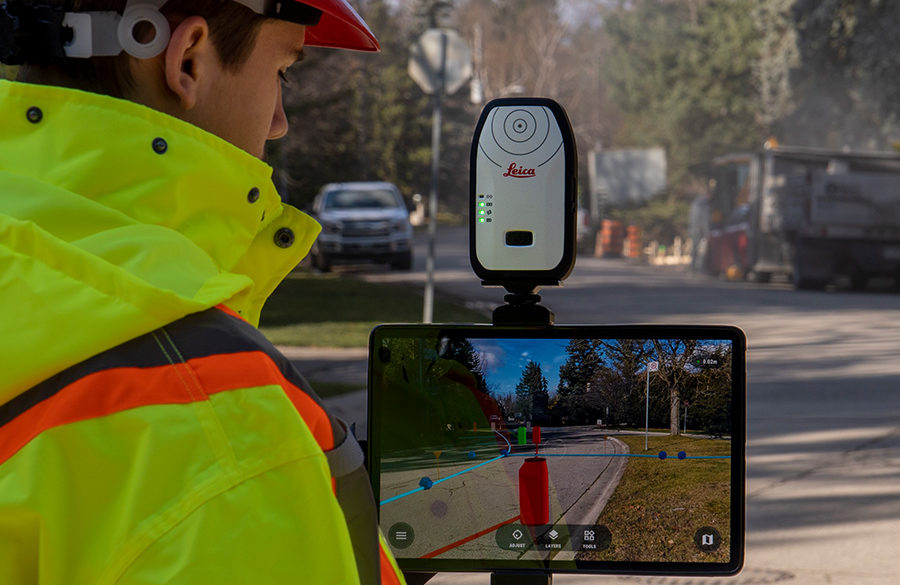
From the productivity gains of seamless software integration to the ability to see underground GIS utilities in real time with AR, the latest GIS innovations provide big benefits.
Watch Now On Demand
In this informative session, you will:
- Learn how you can benefit from the integrated data flow between Leica Zeno Mobile and the Esri ecosystem.
- Explore the data accessibility of FLX100/GG04 plus and connectivity to Field Maps and Collector.
- See how technology integrations are transforming GIS data into real-time augmented reality (AR) displays and holograms.
- Discover how HxGN SmartNet and smart positioning technology can take your GIS capabilities to the next level.
Fill out the form above to access this demo on demand.
To talk to one of our experts and learn more about how to optimize your surveying and mapping potential with technology, please contact us.


