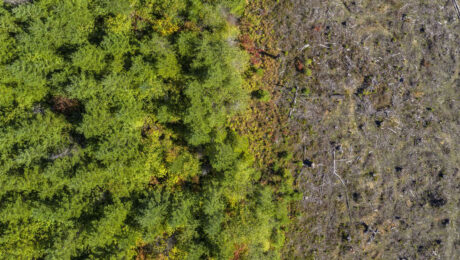
Sustainable Land Development Requires Better Maps. Here’s How Soil and Land Use Experts Are Delivering More Precision
Wednesday, 01 March 2023
Advanced GIS data collection hardware and software empowers soil scientists to provide next-level land intelligence.
- Published in Grow Your Business
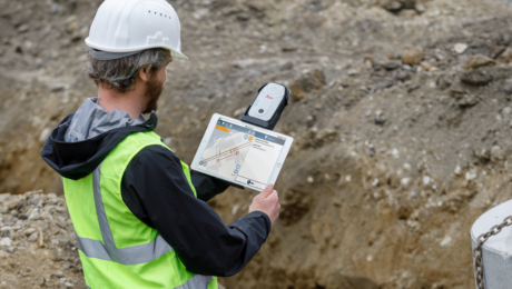
This New GIS Technology Integration Raises the Bar on Underground Utility Protection
Wednesday, 15 February 2023
The ability to use Geolantis.360 with the Leica Zeno FLX100 plus optimizes utility mapping precision and reliability.
- Published in Improve Your Skills
GIS App Spotlight: Ecobot Fast-Tracks Pre-Construction Environmental Permitting
Monday, 21 November 2022
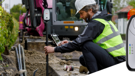
Blazing fast workflows with high accuracy and the ability to work the way you want are key benefits of pairing Ecobot with the Leica Zeno FLX100 plus smart antenna.
- Published in Improve Your Skills
Simple, Accurate, Real-Time GIS Asset Data Collection Just Got Even Better
Thursday, 21 July 2022
Compact, rugged, lightweight and reliable, the Leica Zeno FLX100 is already preferred for its outstanding ease of use. Now, with iOS support, it’s also the most flexible GIS asset data collection tool.
- Published in Improve Your Skills
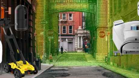
Esri UC 22 Highlights: The Future of GIS Data Collection, Mobile Reality Capture, GPR Utility Detection and More
Thursday, 16 June 2022
Explore the fastest, simplest solutions for capturing and delivering high-accuracy mapping data at Booth 619.
- Published in Featured Improve Your Skills, Improve Your Skills


