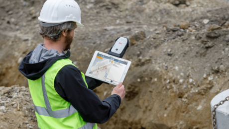
This New GIS Technology Integration Raises the Bar on Underground Utility Protection
Wednesday, 15 February 2023
The ability to use Geolantis.360 with the Leica Zeno FLX100 plus optimizes utility mapping precision and reliability.
- Published in Improve Your Skills
GIS App Spotlight: Ecobot Fast-Tracks Pre-Construction Environmental Permitting
Monday, 21 November 2022
Blazing fast workflows with high accuracy and the ability to work the way you want are key benefits of pairing Ecobot with the Leica Zeno FLX100 plus smart antenna.
- Published in Improve Your Skills
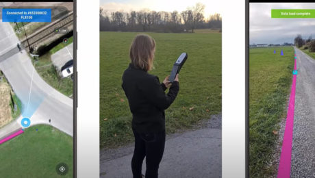
Video: The Easiest Way to Capture and Visualize Utility Infrastructure with High Accuracy
Tuesday, 26 April 2022
Combining high-accuracy GIS data collection with seamless field workflows and the vGIS augmented reality visualization platform delivers next-level intelligence on utility infrastructure.
- Published in Improve Your Skills


