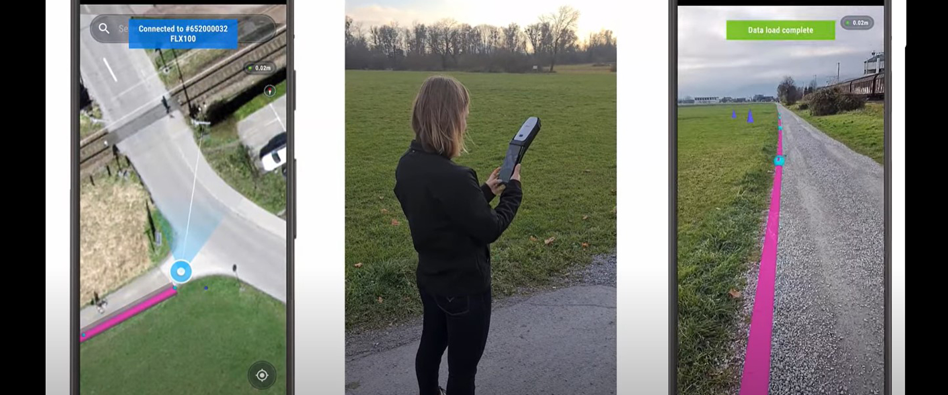
Combining high-accuracy GIS data collection with seamless field workflows and an augmented reality visualization platform delivers next-level intelligence on utility infrastructure.
Having accurate maps of your utility infrastructure is more important than ever as cities and municipalities accelerate construction projects. Ideally, field techs would be able to capture accurate measurements on underground and aboveground utility infrastructure while conducting routine maintenance activities. Modern technology integrations make this possible.
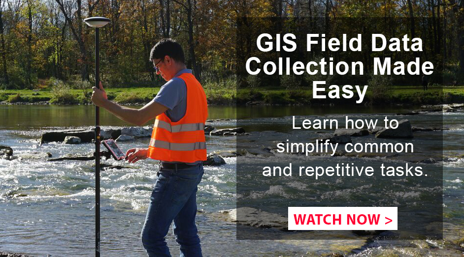
By combining centimeter-accurate GNSS sensors with intuitive field software and advanced augmented reality visualization platforms, high-accuracy field data collection of utility assets becomes a walk in the park.
This video demonstrates the use of the Leica FLX100 and Leica GG04 plus smart antennas with Zeno Connect field software and vGIS augmented reality software for accurate visualization of utility locations.
To talk to one of our experts and learn more about GIS solutions or other ways to optimize your mapping potential, please contact us.


