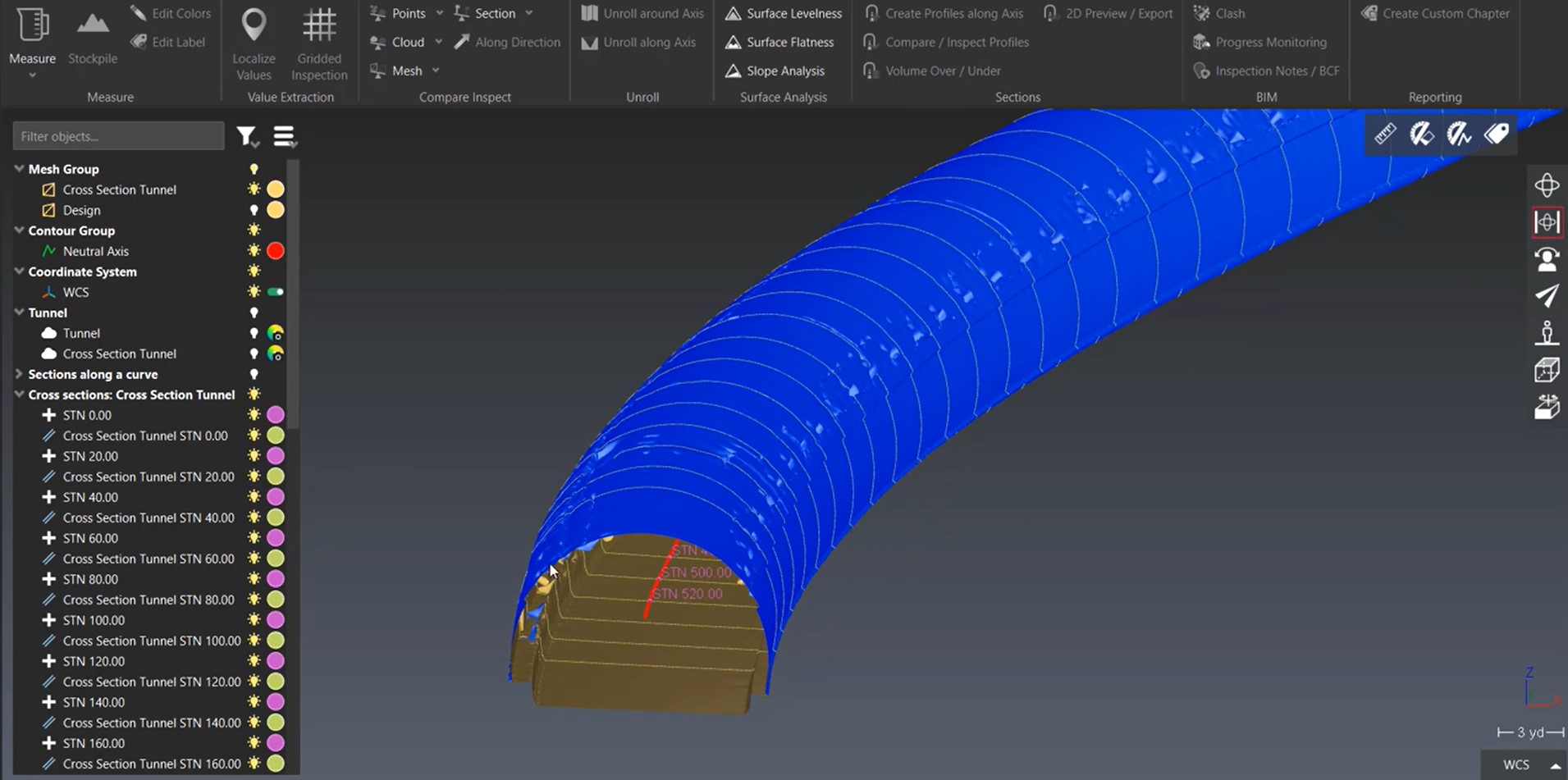
Jonathan Efaw shows how to rapidly create an actionable report of tunnel cross sections in Leica Cyclone 3DR software.
If your client is paying you to conduct a cross section survey for route construction, slope staking, bank stabilization, as-built verification, wall monitoring or another application, the only thing more valuable than your survey data is an actionable interpretation of the results. The faster you can provide that intelligence, the more valuable it becomes.
Combining laser scanning with a software that streamlines inspection, modeling, meshing, and deliverable creation is a powerful approach. In this video, Jonathan Efaw, reality capture support analyst for Leica Geosystems, shows how to rapidly create a compare-and-inspect report of cross sections on a tunnel using lidar data captured with a mobile mapping system in Leica Cyclone 3DR software.
Whether you’re already using laser scanning or looking to implement it, Leica Cyclone 3DR provides a low-overhead, easy-to-adopt workflow that can take your report creation capabilities to the next level.
About the Author:

Jonathan Efaw has been pushing the boundaries of reality capture his entire career. As special projects manager for a surveying and engineering firm, he explored innovative applications for laser scanning and UAVs. He then moved into roles managing terrestrial, mobile, and UAV data acquisition, processing and QA/QC, and quickly advanced to handling business development, operations, and strategy. As U.S. and Canada reality capture support analyst for Leica Geosystems, part of Hexagon, Jonathan applies his expertise to helping surveying and engineering professionals grow their reality capture capabilities and maximize their technology investments. Follow Jonathan on LinkedIn.
To talk to one of our experts and learn more about reality capture or other ways to optimize your surveying potential, please contact us.


