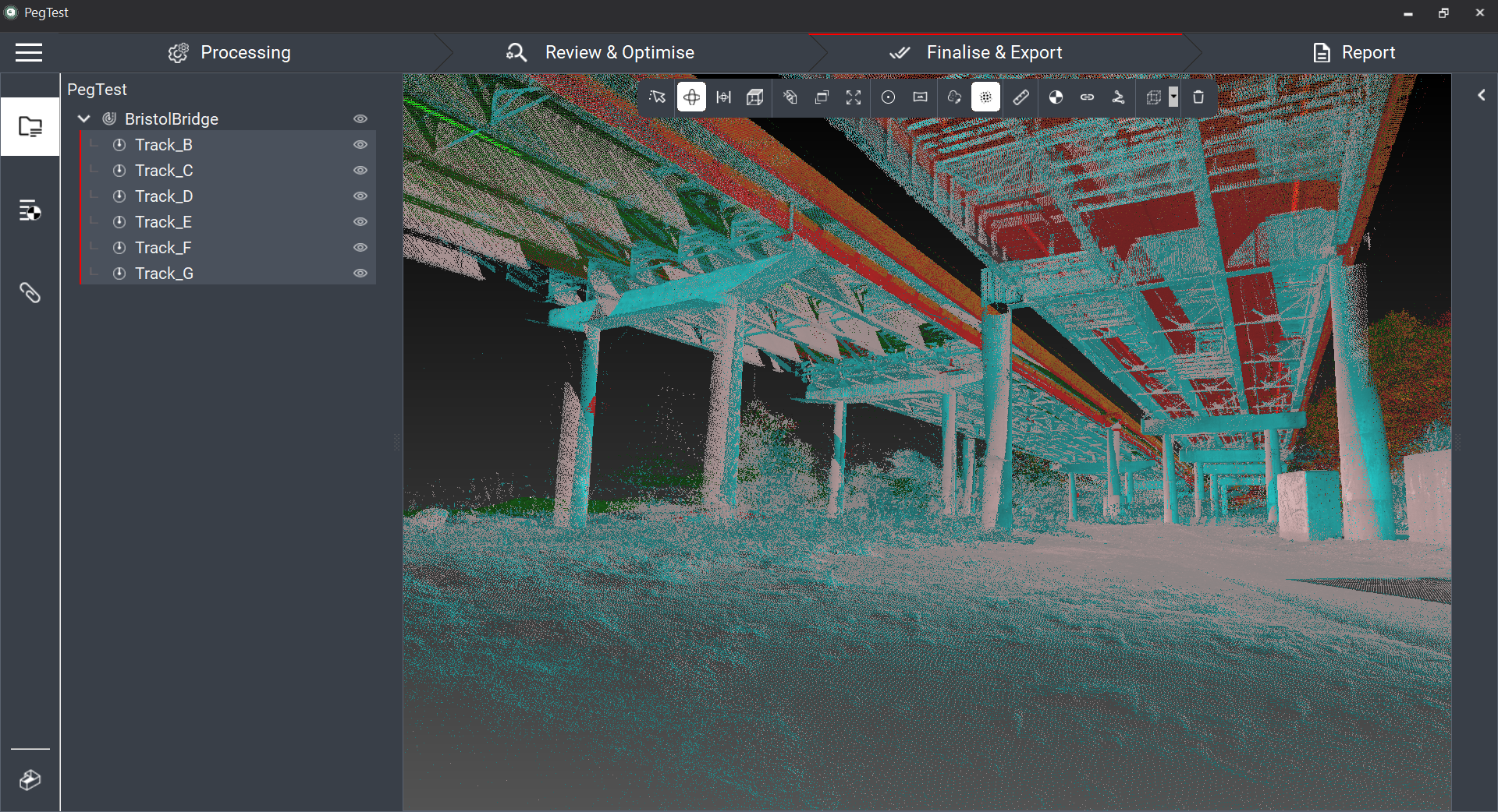
Join Jason Ellis to learn how to harness the power of automation in the new Leica Cyclone Pegasus Office software.
ON DEMAND
Wouldn’t it be nice to go straight to your mobile mapping data without jumping through post-processing hoops?
In this 60-minute instructional session, mobile mapping expert Jason Ellis will show you how to use the new Leica Cyclone Pegasus Office software to significantly streamline workflows with your Pegasus:Two (P2), Pegasus:Two Utimate (P2U) or Pegasus TRK mobile mapping system.
You'll Learn
For P2 and P2U projects:
- How to process data faster
- How to ensure compatibility
- How to streamline adjustments to get to deliverables faster
For TRK PPK and RTK projects:
- How to harness the speed of the RTK import process
- How to maximize flexibility with PPK and RTK processing
- How to use the reporting capabilities to build confidence in adjustments
For all projects:
- How to optimize import-to-deliverable workflows
- How to streamline adjustment procedures
- How to easily export to industry standards
- and more

You’ll walk away from the session with a good working knowledge of how to achieve measurable productivity gains with the new Cyclone Pegasus Office software. Whether you’re already using a Leica Pegasus mobile mapping system or considering your next move in reality capture, this session will give you valuable insights.
Watch it now on demand.

For over 20 years Jason Ellis has been an agent of change by way of technology and a passionate advocate of all things geospatial. Every day he works to help organizations transform their potential by exploring and implementing mobile reality capture solutions. As the North American mobile mapping sales and technical consultant for Leica Geosystems, he works closely with collaborators who are driving reality capture and helping to shape the landscape of the industry.
To talk to one of our experts and learn more about how to optimize your surveying potential with technology, please contact us.


