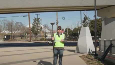
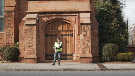
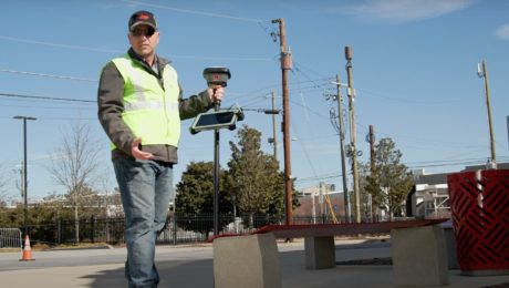
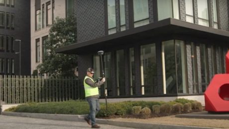
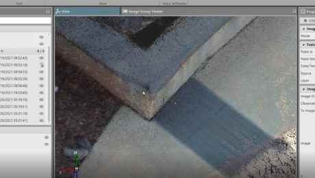
Video: Pro Tip – Visual Positioning Explained
See how easy it is to capture image groups as you walk with the GS18 I.
- Published in Improve Your Skills
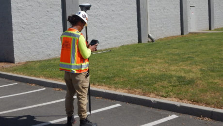
Blair, Church & Flynn Strengthens Surveying Leadership with Investment in GNSS Innovation
Using the GS18 I GNSS RTK rover with visual positioning provides marked improvement in surveyor safety and efficiency while maintaining outstanding quality.
- Published in Featured Grow Your Business, Featured Home, Grow Your Business
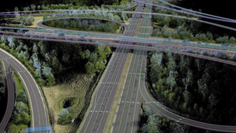
Advance Your Reality Capture Skills with These Sessions from TUC21
From knowing which systems you need to understanding how to get a fast return on your investment, these sessions from the 2021 TopoDOT Users Conference can give you an advantage.
- Published in Grow Your Business, Improve Your Skills
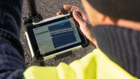
5 Essential Elements of a High-Productivity Survey Controller
Is your controller slowing you down or maximizing your efficiency and confidence in the field? Do a quick check on these five things to find out.
- Published in Featured Home, Featured Improve Your Skills, Improve Your Skills
Video: Pro Tip – How to Capture Intricate Architectural Details with GNSS
Detailed building façade surveys can be done quickly and easily using GNSS with visual positioning technology.
- Published in Featured Improve Your Skills, Improve Your Skills
Video: Pro Tip – How to Anticipate Every Data Need with Your GNSS Survey
Streamline your surveys and avoid return site visits knowing you can pull any measurement you need from the dataset once you’re back in the office.
- Published in Featured Improve Your Skills, Improve Your Skills
Video: Pro Tip – How to Survey Areas with Limited Access Using GNSS
Surveying behind a security gate or other inaccessible area is no problem with the GS18 I.
- Published in Featured Improve Your Skills, Improve Your Skills
Video: Pro Tip – How to Capture Every Detail with GNSS
See how GNSS with visual positioning lets you easily capture details like broken brick corners so you can deliver better survey results.
- Published in Featured Improve Your Skills, Improve Your Skills
Are You Mobile Mapping Yet? Here’s Why You Should Be
Jason Ellis shares how the journey from surveying and civil engineering to mobile mapping is really just a matter of choosing to create new opportunities
- Published in Grow Your Business
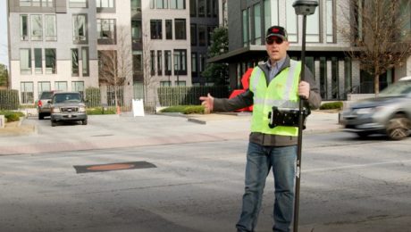
Video: Pro Tip – How to Use GNSS to Stay Safe in the Field
See how to capture manholes from the safety of the sidewalk with the help of visual positioning.
- Published in Featured Improve Your Skills, Improve Your Skills
