Whether you’re looking to gain a deeper understanding of point cloud data and improve your skills for extracting topographies, models and spatial information in TopoDOT software, or seeking a broader overview of reality capture technology and application areas with a focus on business development and program management, the 2021 TopoDOT Users Conference (TUC21) provided a way to meet your objectives. Held as an in-person event May 11-14 at the Rosen College of Hospitality and Management in Orlando, FL, with a virtual option for the Management Track, the four-day conference offered both hands-on technology experiences as well as informative and inspiring learning sessions.
Here are two TUC21 sessions that were especially popular with attendees. NOTE: Both sessions are now available on demand. Sign up below to get immediate access to the recordings.
Keynote: A Roadmap for Rapid ROI in Reality Capture and Mobile Mapping
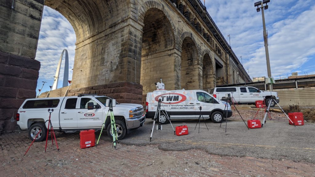
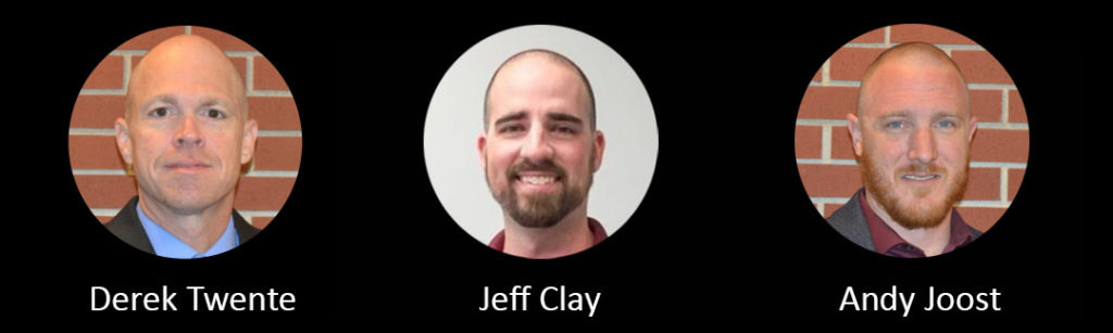 What happens when you make a commitment to investing in reality capture technology for your organization? How do you set the right growth and performance goals, and what expectations should you have for how quickly you’ll see a return on each investment? While there are no hard and fast rules, we can learn from leading-edge organizations that have traveled the road ahead of us and continue to blaze trails in applying new approaches. Hear from TWM Inc. Geospatial Services Manager Derek Twente, PLS, EI, Director of Reality Capture Services Jeff Clay, PLS, and Geospatial Data Manager Andy Joost as they share their journey into terrestrial laser scanning and mobile mapping. They’ll take you behind the scenes on the approach that transformed TWM’s land surveying department from a support service into a self-sufficient leader in billings, profit and innovation. They’ll also share examples of data extraction using TopoDOT software.
AI, Sensor Fusion and Continued Reality Capture Innovation to Empower an Autonomous Future
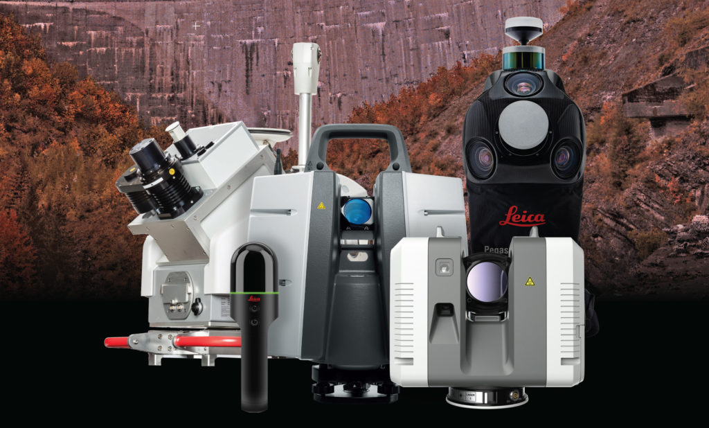 Digital projects are accelerating, and the need for autonomous solutions across industries is becoming increasingly critical. Smart cities and smart infrastructure projects require easy access to highly accurate data and actionable information. With a strong footprint in artificial intelligence (AI) and leadership ahead of the curve in technologies such as photonics, LiDAR, solid state sensors, imaging, advanced simulation technologies and many others, Hexagon delivers solutions. Our world-leading sensor and visualization services portfolio includes terrestrial laser scanners like the RTC360, imaging scanners such as the Leica BLK360 and the Leica BLK2GO, fused sensor systems like the GS18 I GNSS RTK rover, and mobile mapping solutions like the Pegasus:Two Ultimate, as well as the HxDR cloud-based visualization and collaboration platform that enables the seamless fusion of reality capture data from airborne, ground and mobile sensors. Through continued innovation and integrations with leading-edge solutions like TopoDOT, we’re enhancing workflows and empowering an autonomous future.
————–
Sign up below to watch these two sessions now on demand.