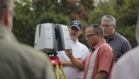
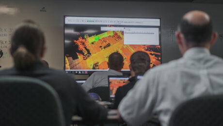
HDS University Returns in 2023 with Even More Surveying Educational Value
With classes on laser scanning, GNSS, survey workflows, data management, and deliverable creation, HDS University 2023 should be on every surveyor’s agenda.
- Published in Featured Home, Featured Improve Your Skills, Improve Your Skills
How to Unlock Four Benefits of Reality Capture in Surveying
Surveyors active in the 3D imaging space agree: Education is the key to recruitment, retention, optimized return on investment, and the readiness to be innovative and take on the next opportunity.
- Published in Grow Your Business
Advance Your Reality Capture Skills with These Sessions from TUC21
From knowing which systems you need to understanding how to get a fast return on your investment, these sessions from the 2021 TopoDOT Users Conference can give you an advantage.
- Published in Grow Your Business, Improve Your Skills
On-Demand Webinar: Automation, Digitalization and the Rise of the Next Generation Surveyor
Discover how to harness technology to achieve a digital transformation that will have an impact on your current business and the future of the profession.
- Published in Featured Grow Your Business, Grow Your Business
Video: UAS Safety Beyond the Regulations
Safety is crucial to flying UAVs. Learn how to assess and minimize risk to achieve the best outcomes with every flight.
- Published in Improve Your Skills
Learn More About the New GS18 I GNSS RTK Rover in These Virtual Events
Go behind the scenes with the experts to learn about the innovative new GNSS RTK rover with visual positioning.
- Published in Improve Your Skills
Webinar Series Guides Surveyors to Point Cloud Mastery
From how to choose the right laser scanner, to using point clouds in CAD and creating advanced deliverables, this webinar series walks you through everything you need to know.
- Published in Featured Improve Your Skills, Improve Your Skills
On-Demand Webinar Provides Tips to Help Surveyors Maximize Point Clouds
If you’ve already mastered the ability to integrate point cloud datasets with linework, it’s time to streamline your workflows and advance your deliverables.
- Published in Featured Home, Featured Improve Your Skills, Improve Your Skills
Can You Achieve Survey-Quality Results with an Unmanned Aircraft System?
It is possible to take advantage of the benefits of a UAS without sacrificing your high quality standards—if you understand the variables and follow best practices
- Published in Improve Your Skills
On-Demand Webinar Walks Surveyors Through Using Point Clouds in CAD
If you’re just getting started in laser scanning, learn the easy way to achieve seamless data transfers, full data traceability and efficient, effective drawings and models.
- Published in Featured Home, Improve Your Skills
- 1
- 2
