Learn how you can benefit from the integrated data flow between Leica Zeno Mobile and the Esri ecosystem as well as other technology advances.
Ready to learn more?
–RELATED RESOURCES–
How Precision Underground Utilities Is Making Real-Time High Accuracy Underground Utility Maps a Reality
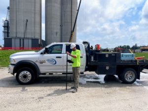
An underground utility contractor delivers high value GIS with smart antennas and intuitive mobile data capture software. Learn more >
How Mobile Apps Simplify Field Data Capture
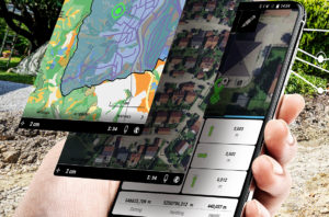 The latest mobile apps keep field data collection simple while giving you a host of professional data capture functions to increase your productivity. Learn more >
GIS Integration Provides Path to Real-Time Asset Intelligence
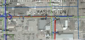 A GNSS smart antenna with an integrated GIS workflow increases efficiency, ensures accuracy and accelerates the turnaround of deliverables to clients. Read more >
How Surveying Technology Partnerships Create a Solid Foundation for Smart Cities
 Accurate geospatial data is crucial to creating the cities of the future. Sam Dougherty, PLS, explains why working with the right technology partner matters. Read more >