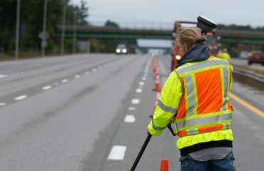
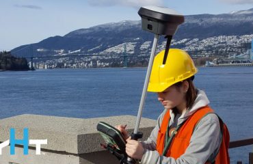
As communities increasingly look to transform into smart cities to meet the data connectivity and infrastructure needs of their citizens, accurate geospatial data plays a critical role. From enhanced public safety and emergency response to better building information modeling (BIM) and asset management, streamlined transportation projects, and safe autonomous vehicles, surveyors using advanced technology have an incredible opportunity to provide the intelligence that underpins a smart, sustainable future. A recent article in POB magazine summarizes the situation this way:
“This is one of the most exciting times I’ve had in my career working with the best and brightest in the industry,” says Sam Dougherty, PLS, vice president of surveying and mapping for the global infrastructure firm AECOM, which has participated in smart city projects around the world. “AECOM is a partner of Leica Geosystems [part of Hexagon], so we have access to all types of data and equipment. This business relationship allows AECOM to put the right technology into the hands of the people who need it for a broad range of projects.” The partnership also facilitates the seamless merging of information from different sensors. Data from total stations, GNSS receivers, geographic information systems (GIS), laser scanners, unmanned aircraft systems (UAS/UAVs), ground penetrating radar (GPR) and others can all be integrated without loss of integrity—a key consideration in the foundation of a smart city approach.
Listen to this podcast to hear how AECOM is leading the way with reality capture:
To talk to one of our subject matter experts and learn how technology can benefit your organization, please contact us.


