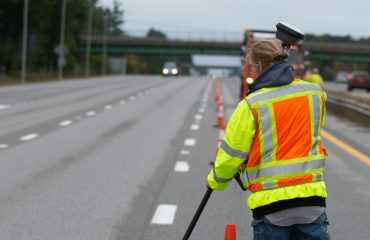
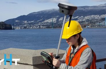
Join industry experts Burke Asay and Pierre Labbe as they reveal the hidden potential of cutting-edge survey technologies. Discover the surprising applications of scanning total stations, imaging GNSS receivers, tilt-compensating prism poles, and more.
Now Available On Demand
In today’s fast-paced world, investing in the right technology is crucial for keeping your survey crews efficient and competitive. But with so many options available, how do you separate a valuable asset from a flashy gadget? And how do you navigate the differences between brands to find the perfect fit for your needs?
In this informative session with Burke Asay and Pierre Labbe, we’ll address those questions and examine some of the most talked-about technologies that have been introduced in the last several years.
WHAT YOU'LL GAIN IN THIS LIVE 60-MINUTE SESSION
- Performance Insights: Discover what the latest technology can truly deliver.
- Essential vs. Extraneous: Learn to differentiate between “must-have” features and “nice-to-have” extras.
- ROI Evaluation: Get practical tips on assessing the return on investment for your technology choices.
- Real-World Applications: Explore use cases that highlight when specific technologies are indispensable.
Make Confident, Informed Technology Decisions
Equip yourself with the knowledge you need to make smart, strategic investments in your survey technology. Don’t miss this opportunity to gain valuable insights from industry experts.
Watch the webinar now.

Burke Asay has more than 20 years of experience working with surveying technology. He began his career as a surveying technologist for Nantucket Surveyors in Massachusetts, where he developed his appreciation for fast, dependable and accurate hardware and software. From there he applied his field knowledge to developing System 1200 applications with the Leica North America Software Development Team in Montreal before moving into a role supporting surveyors and engineers in the US and Canada as an application and technical support specialist, focused on Leica Geosystems solutions. Today, as product manager for Leica Geosystems in the U.S. and Canada, Burke listens to the ideas, needs and challenges of professionals to help drive developments that will increase surveying efficiency and productivity. Burke has a diploma in Geomatics from the British Columbia Institute of Technology.

Pierre Labbe has honed his expertise in surveying technology throughout his professional career, beginning as a survey engineer specialist before joining Leica Geosystems as a technical support specialist in 1999. Over the last 26 years, Pierre has served in a number of support roles, gaining a reputation as a trusted resource for training and optimization of both surveying hardware and software. Today, as senior support engineer for geomatics, Pierre manages the support team and continually raises the bar on customer service excellence.
To talk to one of our experts and learn more about how to optimize your surveying potential with technology, please contact us.

