An imaging laser scanner with a highly automated workflow and intuitive apps enables survey work to be done in a fraction of the time compared to traditional approaches.
If you’ve been having a tough time finding enough field technicians to keep up with your survey projects, you’re not alone. But your clients need the work done yesterday. How can you keep your business running smoothly when resources are stretched thin? Technology can help.
Consider a site survey that requires collecting detailed data on storm and sanitary features. Using a traditional approach with a total station on a tripod might require 20 minutes for a single manhole, along with a significant level of surveying expertise.
Using an imaging laser scanner with a highly automated workflow and intuitive apps enables the same work to be done in a fraction of the time by staff who can be easily trained and deployed to collect reliable data on critical infrastructure elements.
Capture Detailed Data as You Walk
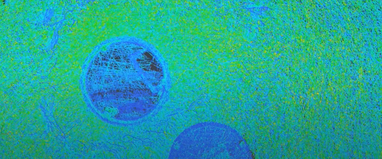
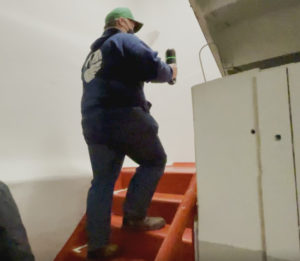
For the data collection in the video above, I used a BLK2GO handheld imaging laser scanner. I set up three targets around the manhole and captured a geotagged photo by briefly pressing the power button. I then walked around the manhole with the scanner, pausing for five seconds about three feet away from each target to ensure the correct data density. The BLK2GO Live app showed me the data collection in real time on my mobile device so I could ensure a complete data capture.
Within two minutes, the field work was finished. I streamed the data into Cyclone 3DR software to quickly extract relevant features, which I then imported to Autodesk Civil 3D for layering and annotation. With this workflow, I was able to quickly and easily establish an accurate rim location, invert locations, clock step and orientation on the manhole.
Streamline Site Surveys While Providing Better Deliverables
The features collected in this survey would seamlessly augment other data collection for the site. The workflow would be especially beneficial anywhere unique situations are present, such as atypical structures (legacy hand-laid brick manholes, for instance), sediment trap basins, pneumatic line vaults, or steam tunnels.
Not only can the work be completed quickly, but the ability for CAD technicians to see the reality of the site in 3D increases the quality of the resulting deliverables.
This approach might not solve for every situation where you need a field tech, but it does provide a valuable way to extend your capabilities when human resources are in short supply. And it puts in overtime without complaining.
About the Author:
 Adam Westfall, PS, has more than 22 years of experience in surveying roles ranging from party chief and CADD technician to project manager, surveying director, reality capture field engineer and business owner. As reality capture consultant for Leica Geosystems, part of Hexagon, Adam focuses on helping surveying and engineering firms achieve transformational innovation with laser scanning technology. Follow Adam on LinkedIn.
To talk to one of our experts and learn more about laser scanning solutions or other ways to optimize your surveying potential, please contact us.


