Any surveyor who uses GNSS receivers is familiar with the process of arriving onsite, locating monuments, logging equipment and batteries, and setting up a base station. Experienced surveyors can complete this setup quickly and methodically, without giving it much thought. But on time-critical, fast-turnaround jobs—and what job these days isn’t?—every minute counts. You need to be able to hop out of your vehicle, power up and immediately get to work collecting data while measuring to centimeter level accuracies tied to a common local datum with your GNSS receiver.
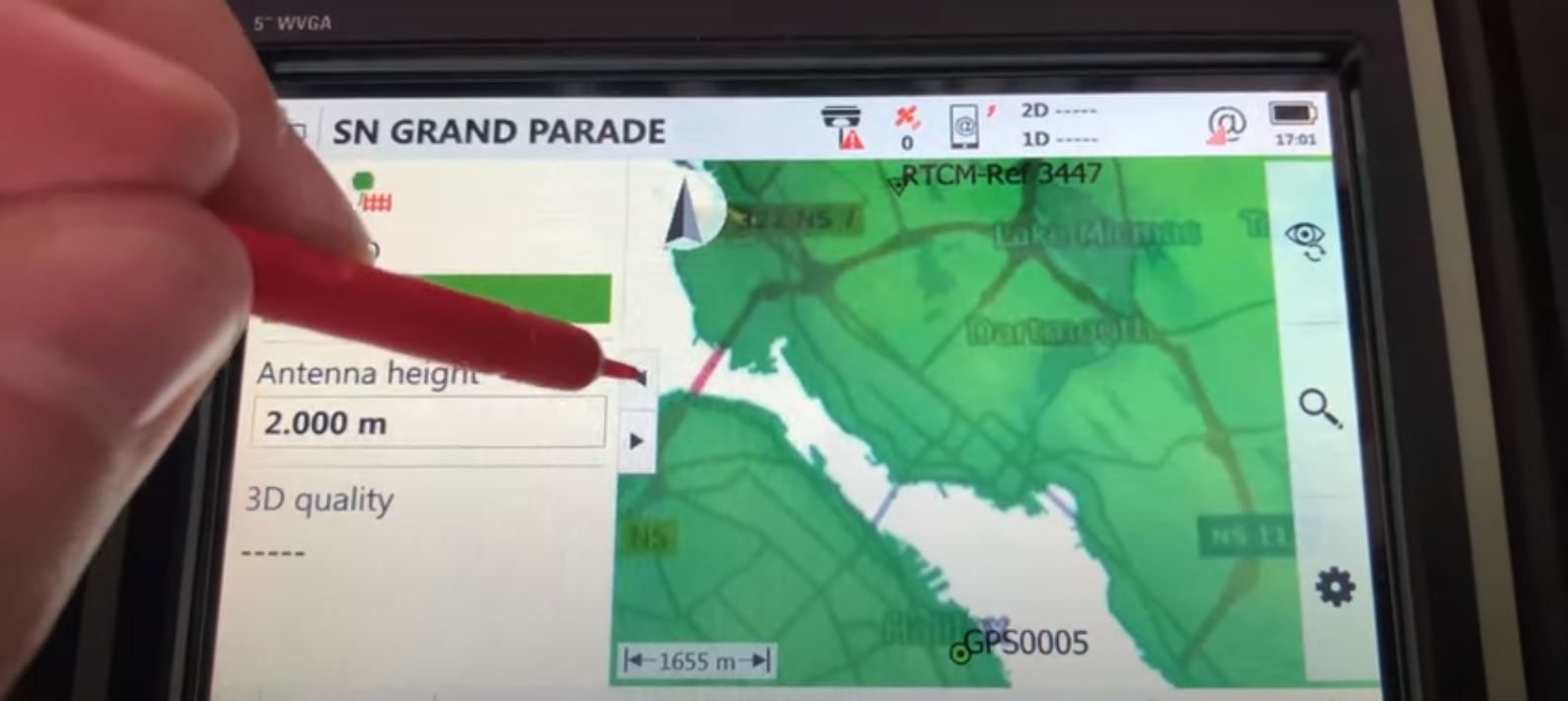
In this video, Leica Geosystems Technical Representative Andrew Gillis shows how a rover, cell phone coverage and a subscription to a reliable network RTK correction service are all you need to maximize efficiency.
Contact us to talk about your surveying challenges and discover solutions that can help your business.


