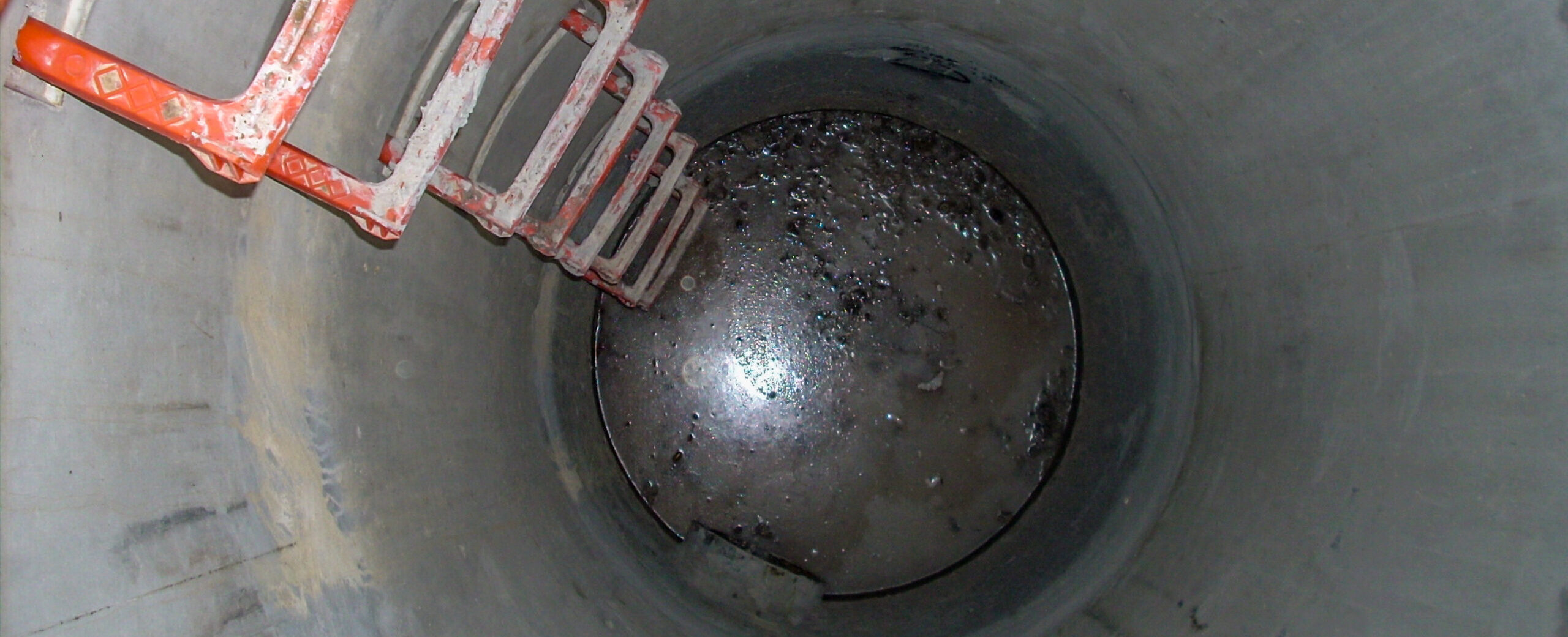
Join Eric Cowan in this on-demand webinar to learn how to differentiate your topographic scanning services with high-value confined-space laser scanning.
Now available on demand
When your as-built survey includes manholes, vaults, or other confined spaces, you know it’s going to be a challenge. Even if you can invert your tripod-mounted laser scanner to get some of the data, capturing accurate pipe sizes, pipe networks, and mechanical assets is never easy or straightforward.
Unless you have the right workflow.
In this eye-opening 60-minute webinar, Eric Cowan will show you the fastest way to collect comprehensive and reliable as-built data in tight spaces. You’ll explore proven techniques for supplementing data from a terrestrial laser scanner (any brand) with scan data from a Leica BLK2GO handheld imaging laser scanner, as well as when to use the BLK2GO alone.
You'll Learn:
- Best practices for applying stationary and handheld mobile laser scanners in confined space surveys
- How to register and combine data from different scanner types to deliver maximum value
- How to create a streamlined, reliable workflow for scanning confined spaces
Whether your work already requires confined-space scanning or you want to grow your business in applications with complex measurement requirements, this reality capture education session will give you the insights you need. Watch it now on demand.

Eric Cowan has more than 14 years of surveying experience. As a surveying technician and party chief, he was relentless in pursuing new ways to bring clients value through reality capture. Eric was instrumental in building a successful surveying department in a multidisciplinary firm, where he developed more efficient workflows and field practices for topographic scanning. As a reality capture consultant for Leica Geosystems, part of Hexagon, Eric applies his skills and expertise to helping surveying, mapping, and engineering professionals succeed and thrive with high-value approaches to laser scanning. Follow Eric on LinkedIn.
To talk to one of our experts and learn more about how to optimize your surveying potential with technology, please contact us.


