Join Adam Westfall on a guided tour through a best-practices point cloud registration workflow to learn what all the numbers mean and how your choices impact your results.
Now Available On Demand
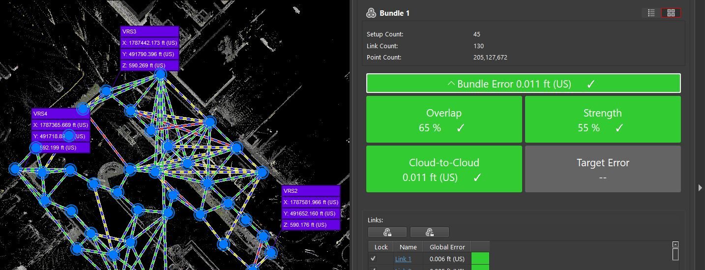
When performing a point cloud registration, a lot of numbers are reported in the software.
What do all these numbers mean, and how can you use them to optimize your approach?
In this engaging 60-minute session, reality capture expert Adam Westfall will walk through a Leica Cyclone REGISTER 360 PLUS registration step by step, showing various options along the way and how each choice affects the outcome.
You'll Learn:
- How to read and interpret reported overlap, strength, bundle error and cloud-to-cloud numbers
- How to refine your workflow to get the correct answer
- How to take your laser scanning skills to the next level
Watch the webinar now on demand.
 Adam Westfall, PS, has more than 22 years of experience in surveying roles ranging from party chief and CADD technician to project manager, surveying director, reality capture field engineer and business owner. As reality capture consultant for Leica Geosystems, part of Hexagon, Adam focuses on helping surveying and engineering firms achieve transformational innovation with laser scanning technology. Follow Adam on LinkedIn.
To talk to one of our experts and learn more about how to optimize your surveying potential with technology, please contact us.


