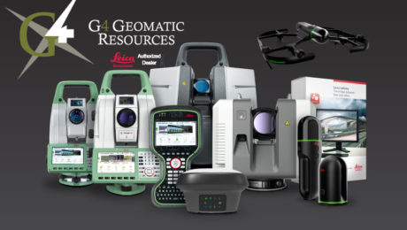
A ‘Technology Consultancy’: G4 Geomatic Resources Takes Innovative Approach to Equipment, Service and Support
New business combines the expertise of G4 Spatial Technologies, Geomatic Resources, Easy Drive and Leica Geosystems Houston to create the ultimate technology resource in Texas and Oklahoma.
- Published in Featured Grow Your Business, Featured Home, Grow Your Business
New Autonomous Reality Capture Sensors Make Digital Twins Effortless
New fully autonomous solutions safely and repeatedly capture accurate 3D point clouds and panoramic images of changing environments with minimal user intervention.
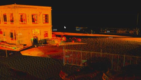
Survey Digitalization and the Power of Visualization
Want to improve project communication within your organization and with your clients? Point clouds and flythrough videos speak volumes.
- Published in Featured Grow Your Business, Featured Home, Grow Your Business
On-Demand Webinar – Monitoring 101: Easy Ways to Launch and Grow Your Monitoring Capabilities
Learn how to take your campaign monitoring services to the next level in Part 1 of our new Monitoring webinar series.
- Published in Featured Home, Featured Improve Your Skills, Improve Your Skills
On-Demand Webinar – Surveying Reimagined: How Ingenuity and Innovation Create New Opportunities
Learn how McLaren Engineering Group’s transformative approach to surveying leads to business growth, client satisfaction, employee happiness and outstanding results.
- Published in Featured Grow Your Business, Featured Home, Grow Your Business
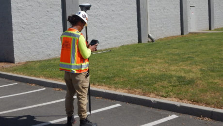
Blair, Church & Flynn Strengthens Surveying Leadership with Investment in GNSS Innovation
Using the GS18 I GNSS RTK rover with visual positioning provides marked improvement in surveyor safety and efficiency while maintaining outstanding quality.
- Published in Featured Grow Your Business, Featured Home, Grow Your Business
5 Essential Elements of a High-Productivity Survey Controller
Is your controller slowing you down or maximizing your efficiency and confidence in the field? Do a quick check on these five things to find out.
- Published in Featured Home, Featured Improve Your Skills, Improve Your Skills
The Ingenious Way 1 Alliance Geomatics Combats Survey Equipment Theft
Using a simple technology upgrade to protect survey equipment provides a big payoff.
- Published in Featured Home, Grow Your Business
Three Ways Your Surveying Practices Might Be Falling Short
Do you use laser scanning in your surveying work? If not, you might be missing out on key advantages that are rapidly becoming standard.
- Published in Featured Home, Featured Improve Your Skills, Improve Your Skills
Survey Digitalization and the Power of Visualization
Want to improve project communication within your organization and with your clients? Point clouds and flythrough videos speak volumes.
- Published in Featured Grow Your Business, Featured Home, Grow Your Business
