You'll Learn
- Which types of commonly performed surveying services are actually monitoring
- Why monitoring services are in high demand, and what that means for your firm
- How technology advances are overcoming labor shortages and expanding potential
- How even small modifications to your current processes can have a big impact on your capabilities
- How to develop a roadmap for success in your monitoring business
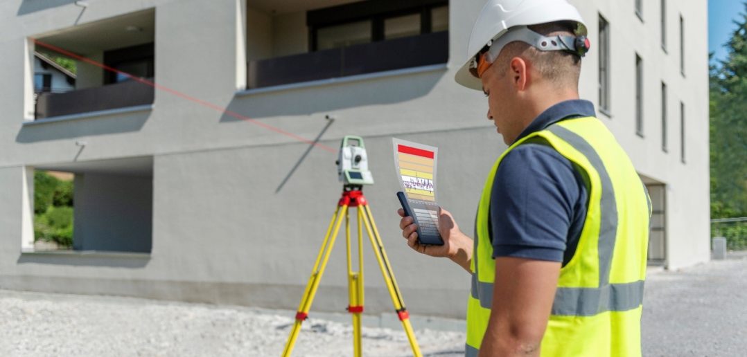
You probably already perform some monitoring tasks in your day-to-day surveying and engineering work. You might not even realize it’s considered monitoring. Running level lines across a seawall once a year; checking periodically for subsidence on an old landfill; shooting reflectorless points over a dam spillway—these and many other common surveying tasks have the potential to launch a high-demand monitoring service in your business, if you know how to optimize your resources and approach. Simple and inexpensive technology upgrades make it easy to get started.
In this insightful 60-minute webinar, monitoring specialist William T. Derry, Prof. LS, will walk you through current landscape in campaign-style monitoring.
Watch the webinar on-demand to learn how to easily take your services to the next level with campaign-style monitoring.
 William T. Derry, Prof. LS, has more than 23 years of experience as a professional land surveyor working with GNSS control, structural layout and general surveying. Trained in the military as a geodetic and artillery land surveyor, Derry has held such diverse roles as project manager, division manager and technology director. Derry currently serves as technical sales engineer for structural monitoring solutions at Leica Geosystems, part of Hexagon.
To talk to one of our experts and learn more about how to optimize your surveying potential with technology, please contact us.


