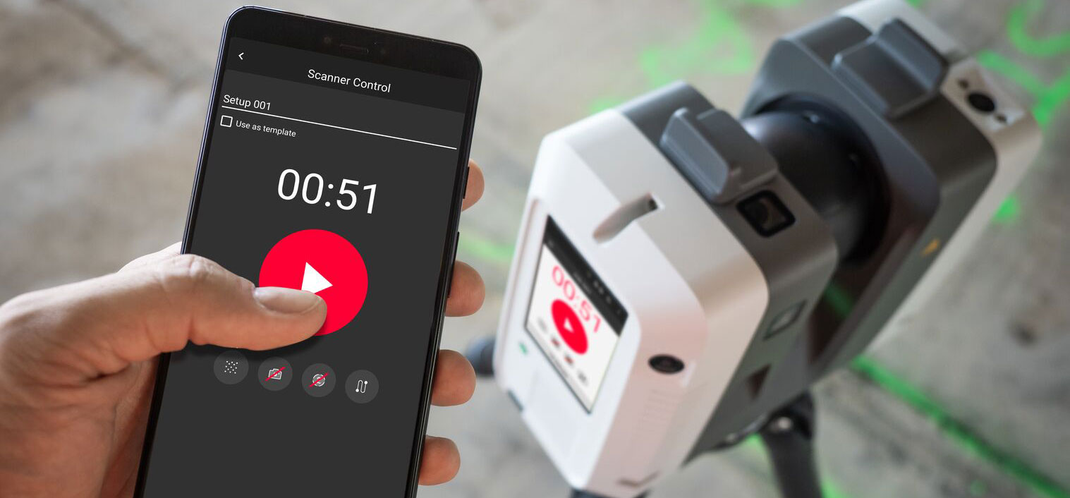
Whether you need a small form factor, survey-grade scanning, or maximum versatility, these three laser scanners provide proven reality capture performance.
By Mike Harvey
With so many different laser scanners available on the market today, how can you choose the best technology for your application? The Geo Week 2023 USIBD Scanner Shootout gave attendees a chance to compare several laser scanners and evaluate the resulting point clouds.
Leica Geosystems participated in the event with three leading-edge laser scanners – the next-generation Leica BLK360 imaging laser scanner, the professional-grade Leica ScanStation P-Series, and the versatile, high-speed Leica RTC360.
So, how did each scanner perform?
The Setup
The shootout area included three sandwich boards with different materials – flooring, reflective materials, and objects found on typical jobsites – and a target. The flooring board was set at 5 meters from the laser scanner, the object board at 10 m, and the reflective materials board at 20 m.
Four additional targets were taped to columns around the space at various ranges, with the farthest at 25 m from the laser scanner.
All participants were given a control file to register the data to all the targets. Lighting was typical for an indoor trade show.
The Scans
I used the BLK360 to capture scans at four resolutions—low, medium-low, medium, and high resolution.
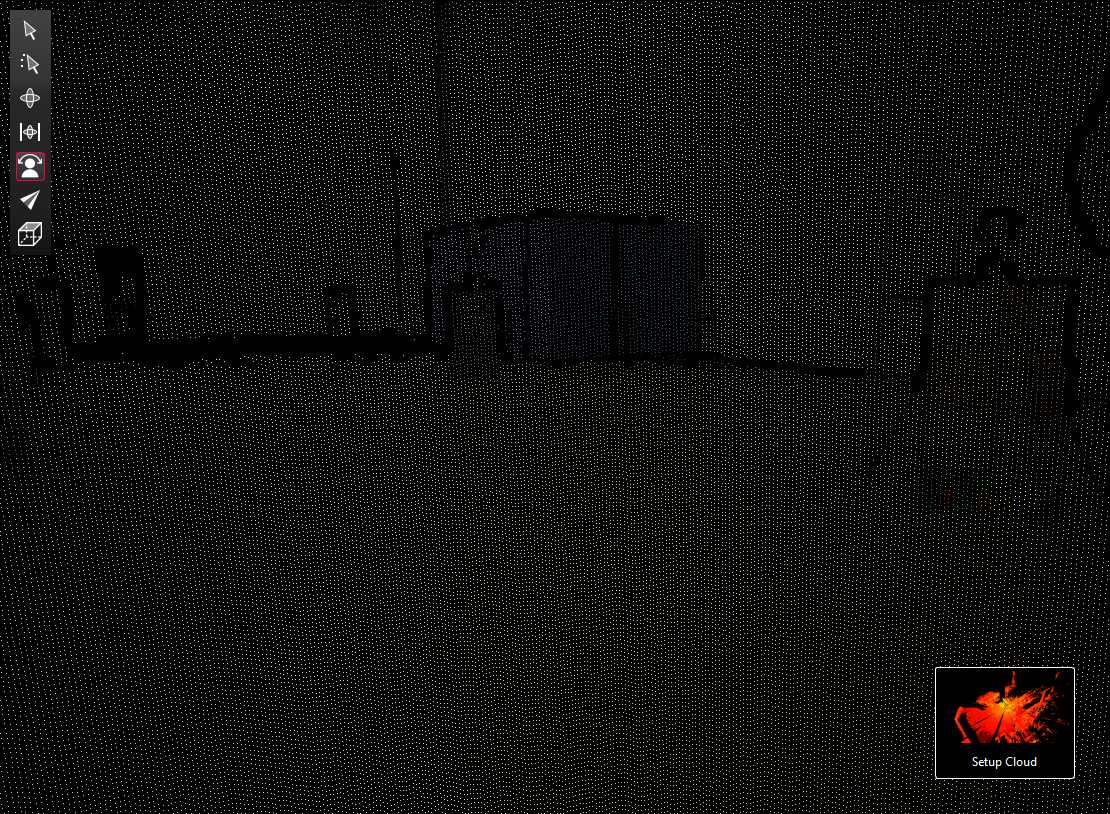
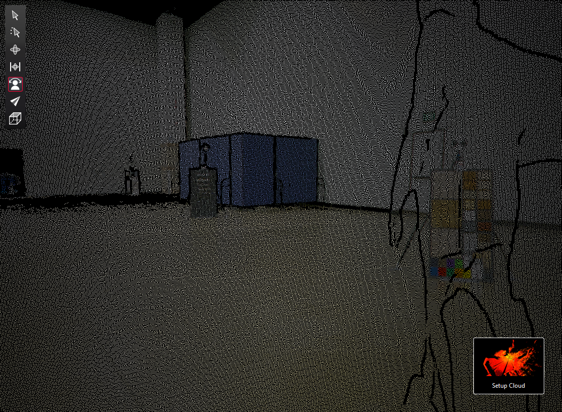
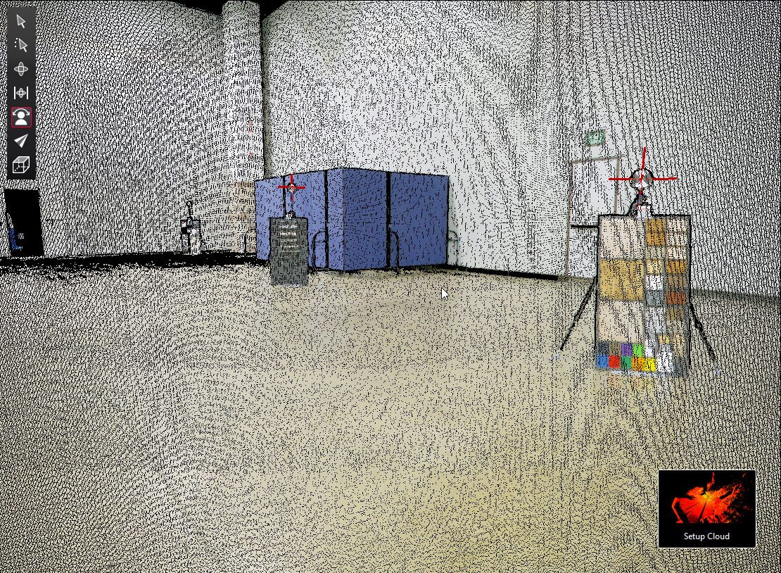
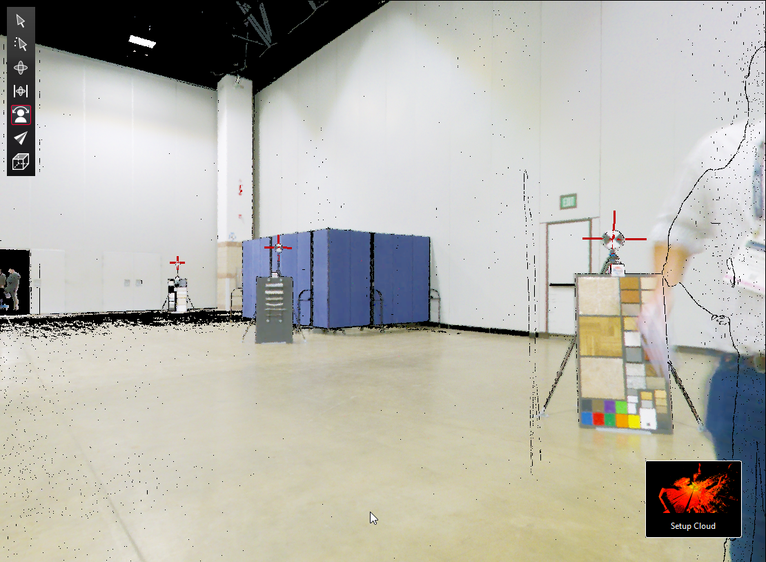
I used the RTC360 to capture scans at low, medium, and high resolution.
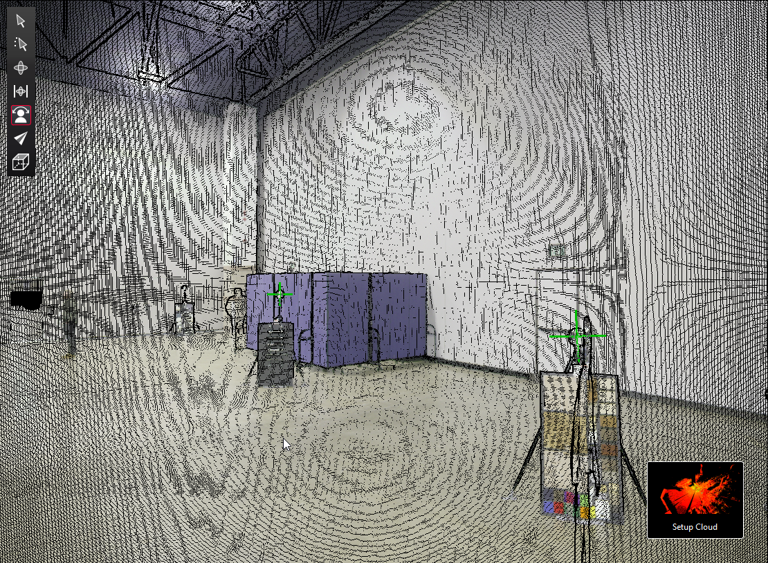
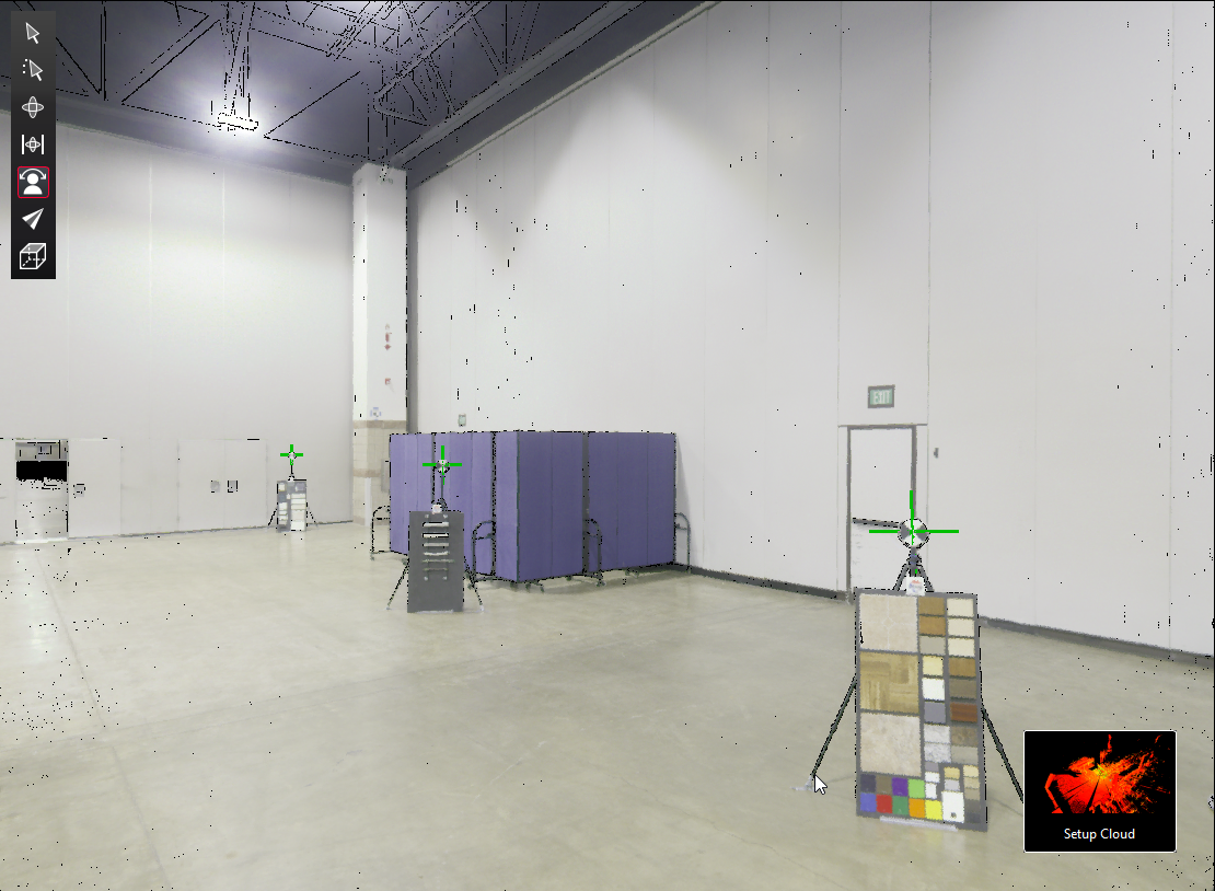
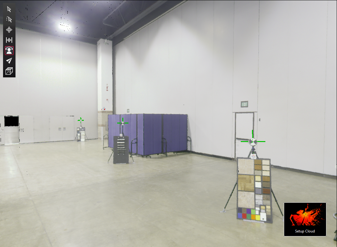
I used the P-Series scanner at medium resolution to capture four detail scans, acquiring the targets onboard the scanner.
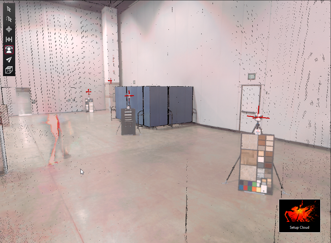
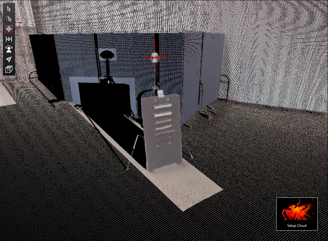
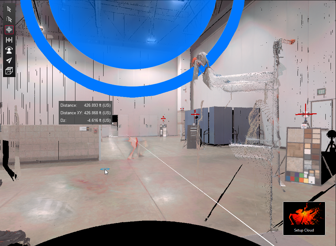
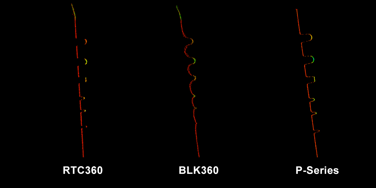
For a data comparison, I took a cross-section slice of the middle sandwich board scan from all three scanners. These cross-sections are shown below.
For all three scanners, I used the same controller with the Leica Cyclone FIELD 360 mobile-device app. This app let me pre-register and align the scans in the field for fast and easy final registration and post-processing in the Cyclone REGISTER 360 office software.
The Takeaways
Laser scanning has evolved tremendously over the last 20-plus years. Unlike the bulky, slow, and complex early machines, today’s laser scanners are compact, ultrafast, and easy to use. Beginning with its acquisition of Cyra Technologies in 2001, Leica Geosystems has remained the innovation leader in laser scanning by anticipating and responding to the needs of the market.
“What couldn’t be demonstrated in that event were the primary reasons so many firms rely on Leica Geosystems laser scanning solutions … the ability to partner with a technology developer that gives them confidence and extends their capabilities through outstanding support, service, training, and continuous innovation.”
The P-Series laser scanners give you long-range, survey-grade data with high-detail functionality. The next-generation BLK360 imaging laser scanner provides high-speed performance in a compact form factor. And the RTC360 provides speed, accuracy, visual inertial system (VIS) technology, and the ultimate versatility. Each scanner integrates seamlessly into an existing survey, engineering or construction workflow to provide significant gains in safety, efficiency and visualization. These benefits were all evident in the USIBD laser scanner shootout.
What couldn’t be demonstrated in that event were the primary reasons so many firms rely on Leica Geosystems laser scanning solutions. In addition to gaining access to the highest-performance systems on the market, companies that use Leica Geosystems technology value the ability to partner with a technology developer that gives them confidence and extends their capabilities through outstanding support, service, training, and continuous innovation.
With a laser scanner fit for every purpose, you can be ready for anything. The question isn’t which scanner is best for your needs, but how will you apply the best technology to your maximum advantage.
About the Author:
 Michael Harvey has over 21 years of experience in the laser scanning field. He has created comprehensive training materials for 3D laser scanning, researched and developed new workflows, written numerous technical eZines, and guided the development of reality capture hardware and software. But the most meaningful part of Mike’s work has been in helping individuals and teams learn the strategies and techniques that enable them to apply reality capture in ways that lead to increased business success. As senior product manager for reality capture and survey/engineering at Leica Geosystems, part of Hexagon, Mike drives excellence in customer outcomes by raising the bar on service, support and education. Connect with Mike on LinkedIn.
To talk to one of our experts and learn more about laser scanning, contact us.
