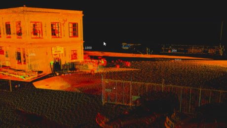
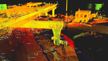
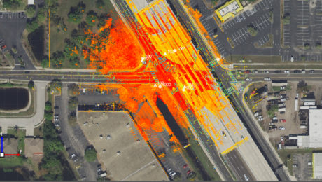
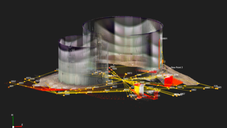
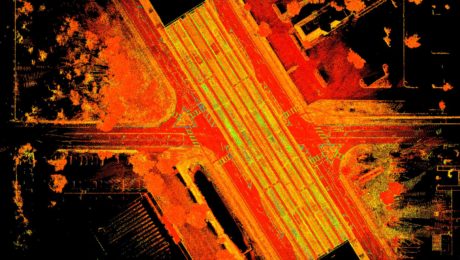
Survey Digitalization and the Power of Visualization
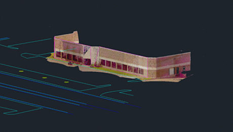
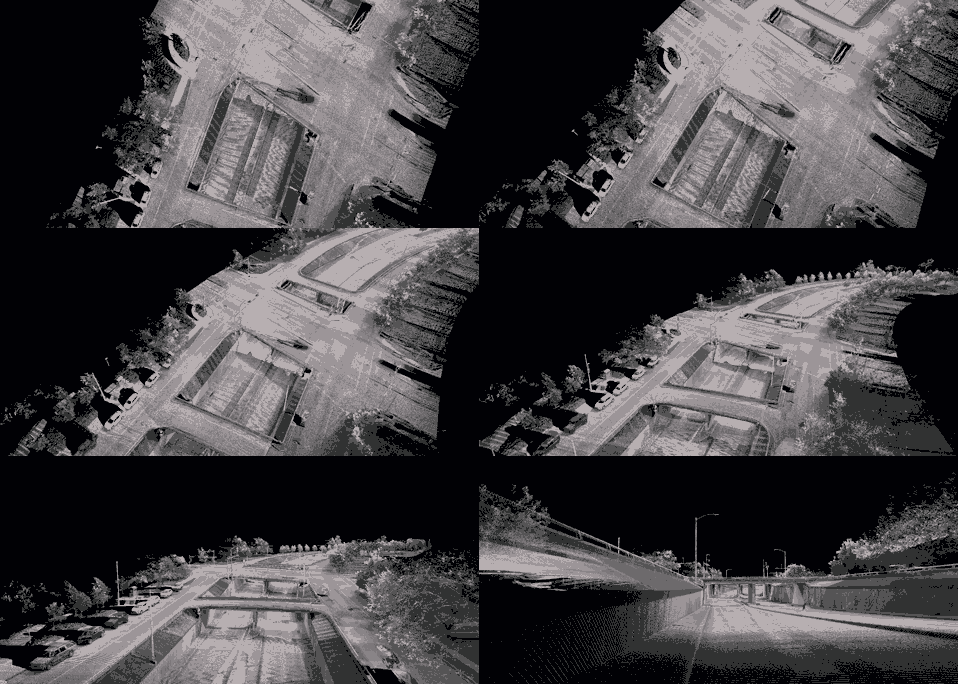
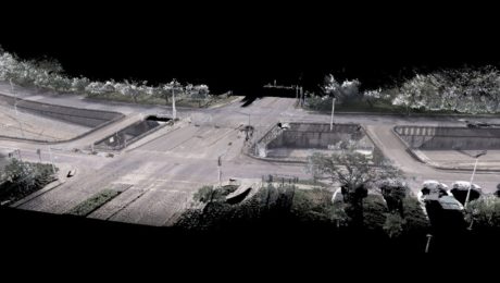
Want to improve project communication within your organization and with your clients? Point clouds and flythrough videos speak volumes.
- Published in Featured Grow Your Business, Featured Home, Grow Your Business
On-Demand Webinar: Automation, Digitalization and the Rise of the Next Generation Surveyor
Discover how to harness technology to achieve a digital transformation that will have an impact on your current business and the future of the profession.
- Published in Featured Grow Your Business, Grow Your Business
Webinar Series Guides Surveyors to Point Cloud Mastery
From how to choose the right laser scanner, to using point clouds in CAD and creating advanced deliverables, this webinar series walks you through everything you need to know.
- Published in Featured Improve Your Skills, Improve Your Skills
Video: Band Scanning Solves Tunnel Measurement Challenge
Using the Leica MS60 with the new band scanning method enables surveyors to capture comprehensive data in a tunnel 200 feet underground.
- Published in Featured Grow Your Business, Featured Home, Grow Your Business
On-Demand Webinar Provides Tips to Help Surveyors Maximize Point Clouds
If you’ve already mastered the ability to integrate point cloud datasets with linework, it’s time to streamline your workflows and advance your deliverables.
- Published in Featured Home, Featured Improve Your Skills, Improve Your Skills
On-Demand Webinar Walks Surveyors Through Using Point Clouds in CAD
If you’re just getting started in laser scanning, learn the easy way to achieve seamless data transfers, full data traceability and efficient, effective drawings and models.
- Published in Featured Home, Improve Your Skills
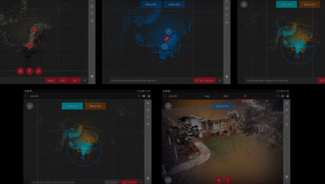
Learn the Basics of Mobile Mapping in This Webinar Series
If you’ve been thinking about expanding your services to include mobile mapping, this webinar series can help you quickly get up to speed.
- Published in Featured Home, Featured Improve Your Skills, Improve Your Skills
Five Tips to Accelerate Success with Mobile Mapping
The best way to see a fast return on your mobile mapping investment is to learn from the experience of others and avoid common mistakes.
- Published in Grow Your Business
How VIS Technology Advances Laser Scanning
The ability for a laser scanner to “see” where it is at each setup and track its own movement brings a greater return on investment to laser scanning.
- Published in Improve Your Skills
How to Compare High-Speed Laser Scanners
Spec sheets might be a starting point for choosing a laser scanner, but details that aren’t on the spec sheet also matter. Here’s what you should look for in the demo and the data.
- Published in Improve Your Skills
