

Field software for surveying has evolved rapidly in the last several years. Take Leica Captivate, for instance—from its introduction in 2015 as the first touch-technology software, Captivate has continued to advance through the addition of new capabilities and tools. Captivate 5.0, released in March 2020,* added even more improvements, including new hotkeys, easier job transfers and enhanced linework routines. But do you really have to update software with each new version? If you’re comfortable and confident with your existing software, why should you consider an upgrade?
It’s important to understand that software advances don’t just happen on a whim. Leica Geosystems works closely with customers and partners to learn what they wish they could do differently and how they would like to improve their workflows, and our developers listen and respond accordingly. The result is faster, easier and more intuitive solutions that benefit not only the users who requested the improvements, but also the profession as a whole.
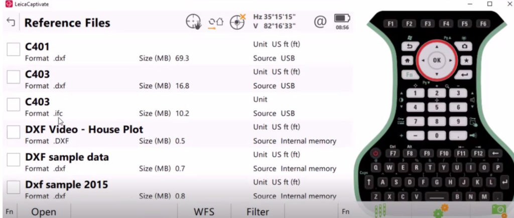
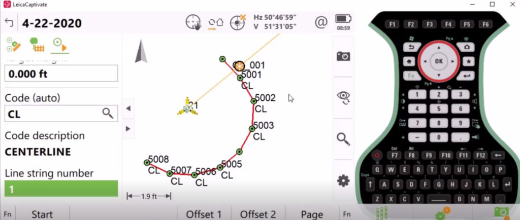
For example, touch-technology software is ideal for easy access, but inadvertently opening the wrong file can create confusion and slow you down on a project. The ability to lock a job on the main carousel would ensure that you’re always working in the correct file. Another potential snag is locating related jobs, design data and reference files. Imagine the impact on efficiency if you could link all related files together with easy navigation. And how much time would you save if you could press a button to do linework with automatically recorded points by distance, time, difference in height or another parameter?
Captivate 5.0 provides all these capabilities and more, each designed to reduce steps and streamline workflows so you can maximize field efficiency. “Updating your systems is important to ensure you’re running well,” says Tim Kerr, senior geomatics support engineer for Leica Geosystems US/Canada. “There’s significant value in the added capabilities that have been requested by other professionals. Our developers are always listening and responding to the needs of users.”
Is a field software upgrade worth it? Absolutely—if you want to stay at the top of your game.
A new Tech Tips video from the Leica Geosystems Surveying & Engineering (S&E) support team demonstrates the time-saving capabilities of Captivate 5.0. Watch the video here.

>Related: Do You Know What Your Total Stations and GNSS Receivers Can Really Do?
*NOTE: As of May 2021, the latest version is Captivate 6.5. Contact your sales rep or follow the link below to request information on the latest version of Captivate software.
To explore surveying solutions that can help you maximize productivity and performance, please contact us.


