

Surveying has always been something of a solitary profession—in fact, it could be argued that this aspect is precisely what draws many professionals to the discipline. The ability to work alone or in small groups, often in remote outdoor settings, carries a certain rugged appeal. With the development of reflectorless robotic total stations, RTK GNSS and reliable real-time correction networks, the opportunity for surveyors to work solo increased exponentially. Even midsize and large firms began deploying one-person crews more than 15 years ago, albeit with strict safety precautions. And where they did continue operating two- or three-person crews, firms that invested in technology were well positioned to maximize efficiency and human potential as work was booming.
Then the coronavirus pandemic hit. As businesses around the world shut down to comply with state orders designed to reduce the spread, an interesting phenomenon occurred in surveying. Solo surveyors and firms that used technology to enable effective and efficient one-person crews were able to keep working, safely serving essential industries while social distancing and working remotely. In a matter of months, the latest state-of-the-art surveying solutions went from a luxury to a necessity.
Here are five ways you can optimize your surveying potential during the pandemic and beyond.
1. Use innovative and smart GNSS antennas
Whether you need a basic lightweight rover or a powerful system that performs in challenging environments, your GNSS solution should use smart signal processing algorithms that maximize uptime and reliability. GNSS RTK rovers with visual positioning let you capture and measure points from imagery by simply walking around the project area, which substantially increases safety, efficiency and the completeness of your data capture. Real-time tilt compensation eliminates the need to stop and level up, giving you a significant increase in speed and the ability to measure points that have previously been difficult or impossible. Self-learning technology allows for adaptive, on-the-fly satellite selection that helps you work in challenging urban environments and under canopy. With today’s technology advances, there’s no longer any reason not to use GNSS when working solo or on a crew—and a lot of reasons GNSS should be your first choice.
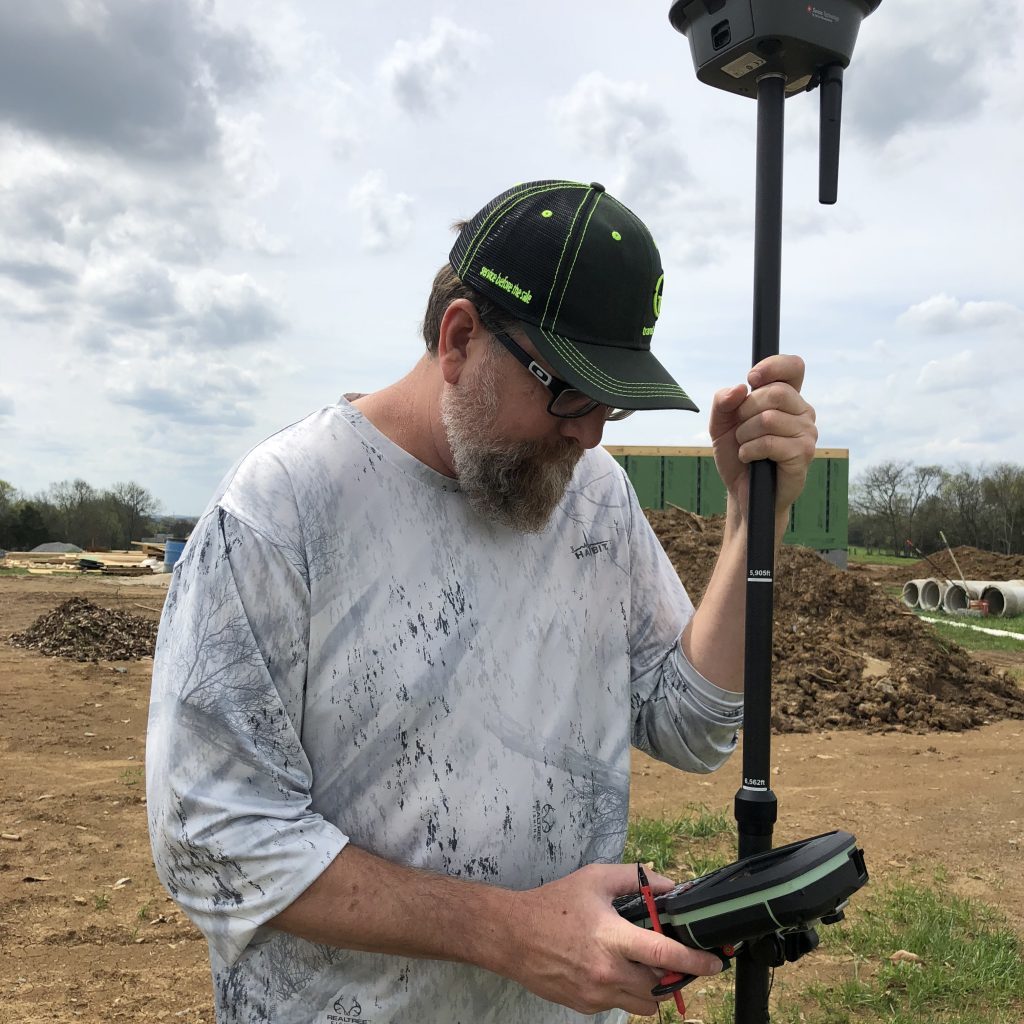
“I’m doing topos in areas that are completely wooded that typically I would never be able to do by myself,” says Jason Stivers of Stivers Land Surveying. “The GS18 T does an amazing job in getting the shots that I need in the thicker woods, in the areas that I typically would have to take a total station in and it would take me three to four times as long. … With the GS18 T, I just set it down, hit the button, set it down, hit the button, and I can go really fast.”
RELATED: Surveyor Uses Advanced Technology to Gain a Competitive Advantage
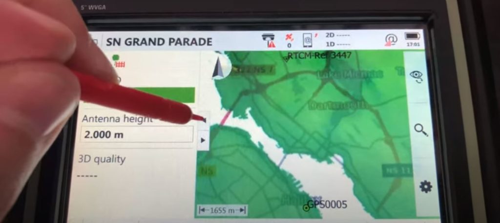
2. Find and use a reliable real-time network
If you’re still setting up a base station to meet centimeter or subcentimeter-level accuracies with GNSS, you might be wasting time that could be spent getting right to work. RTK networks have made significant investments in server infrastructure, failover systems, redundancies and support to provide maximum uptime, reliability and stability. With robust coverage across much of the U.S. and increasing portions of Canada, you owe it to yourself to check your local coverage and consider a subscription as a way to maximize efficiency.
RELATED: Video: A Fast and Easy Way to Achieve Centimeter-Level Accuracies in Your Field Surveys
3. Automate your total station routines
Does your total station automatically adjust to any environmental conditions, locking onto its target while ignoring other distractions on a busy site? Does it continuously adapt to site conditions such as rain, fog, dust, sun, heat shimmer and reflections, and consistently deliver high-grade measurement performance? Does it give you the ability to capture your measurements as a digital image and/or point cloud so you can ensure you have every detail and eliminate return trips? Artificial intelligence and flexible data capture provide real advantages, whether you’re part of a crew or working alone.
“The band scanning function is a useful feature that will help us collect data accurately and increase overall efficiency on the project.”

4. Streamline your workflows with software
You shouldn’t have to think about coding linework, transferring files and generating reports; your field and office software should do the work for you. From tap and swipe functionality to powerful visualizations, multisensor data integration and full data traceability, your software plays a significant role in your survey productivity and performance.
Related: Webinar Series Guides Surveyors to Point Cloud Mastery
5. Work with a trusted solution provider
The right technology can give you an edge by enabling you to capture your data and create your survey deliverables quickly with no compromises. It allows you to be lean, agile and innovative, and to pursue complex challenges with confidence—to know it’s right and have the data to prove it. The final key is to have the support and service you know you can rely on when you need it.
Whether you’re a solo surveyor by choice or socially distanced to stay safe, now more than ever you need solutions that will make you efficient and effective.
To talk to one of our experts and learn more about how to optimize your surveying potential, please contact us .


