A ‘Technology Consultancy’: G4 Geomatic Resources Takes Innovative Approach to Equipment, Service and Support
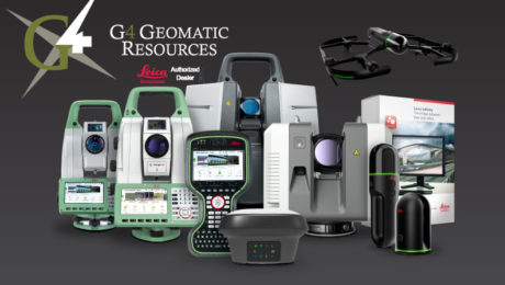
New business combines the expertise of G4 Spatial Technologies, Geomatic Resources, Easy Drive and Leica Geosystems Houston to create the ultimate technology resource in Texas and Oklahoma.
- Published in Featured Grow Your Business, Featured Home, Grow Your Business
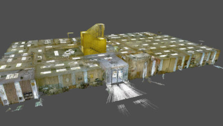
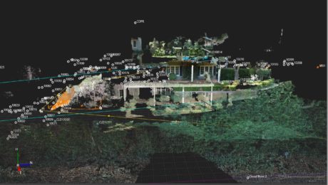
New Autonomous Reality Capture Sensors Make Digital Twins Effortless
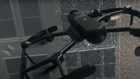
New fully autonomous solutions safely and repeatedly capture accurate 3D point clouds and panoramic images of changing environments with minimal user intervention.
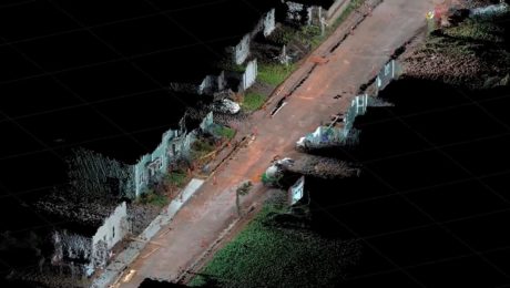
How to Be Successful in Reality Capture
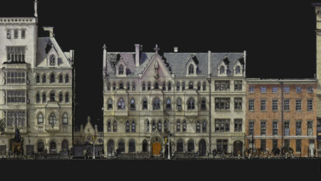
Adding reality capture to your surveying tool set can create significant opportunities for new business. Jason Larson, PLS, of McLaren Engineering Group, provides insights on how to do it well.
- Published in Grow Your Business
Morrison-Shipley Sets New Benchmark for Fast-Turnaround Reality Capture
A handheld imaging laser scanner proves invaluable in meeting a tight project timeline.
- Published in Featured Grow Your Business, Grow Your Business
Small Business, Big Service: How Gromatici Land Surveying Delivers Impressive Efficiency and Quality
An innovative business approach blazes new trails for how surveying will be performed in the future.
- Published in Featured Grow Your Business, Grow Your Business
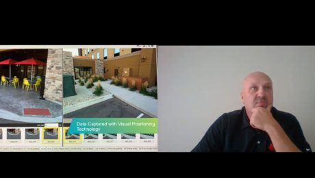
Video: How GNSS with Visual Positioning Streamlines Road Construction Surveys
Andrew Gillis of Leica Geosystems shows a fast, easy way to collect survey data for a road construction project using the GS18 I GNSS smart antenna.
- Published in Improve Your Skills
Video: FIG Young Surveyors’ Conference Presentation Highlights Surveying Sustainability
Jason Houle of Leica Geosystems presents an engaging look at how to harness technology for an agile, sustainable future.
- Published in Grow Your Business
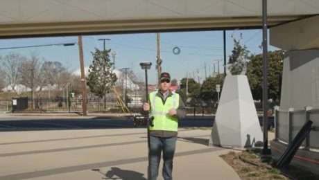
Video: Pro Tip – Visual Positioning Explained
See how easy it is to capture image groups as you walk with the GS18 I.
- Published in Improve Your Skills
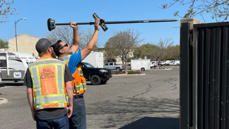
Video: Capturing Impossible Points with GNSS
Innovative technology like the GS18 I GNSS RTK rover makes previously inaccessible points easy to capture – even when they’re on top of a wall or behind a fence.
- Published in Improve Your Skills
Video: Pro Tip – How to Capture Intricate Architectural Details with GNSS
Detailed building façade surveys can be done quickly and easily using GNSS with visual positioning technology.
- Published in Featured Improve Your Skills, Improve Your Skills
