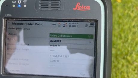
Video: Three Fast and Easy Ways to Survey a Hidden Point
Sunday, 08 August 2021
G4 Geomatic Resources’ Jeff Ryall shows three ways to use the CS20 Disto option with GNSS RTK to survey an inaccessible point so you can quickly finish your field work.
- Published in Improve Your Skills
