G4 Geomatic Resources’ Jeff Ryall shows three ways to use the CS20 Disto option with GNSS RTK to survey an inaccessible point so you can quickly finish your field work.
You’re on a survey with your GNSS RTK and everything is going along just fine, until suddenly it isn’t. Maybe you end up on a right-of-way with a limited area where you can get an RTK fix, or you need to survey a pole that is inaccessible behind a fence. The last thing you want to do is go back to your truck for your total station. So what’s the alternative?
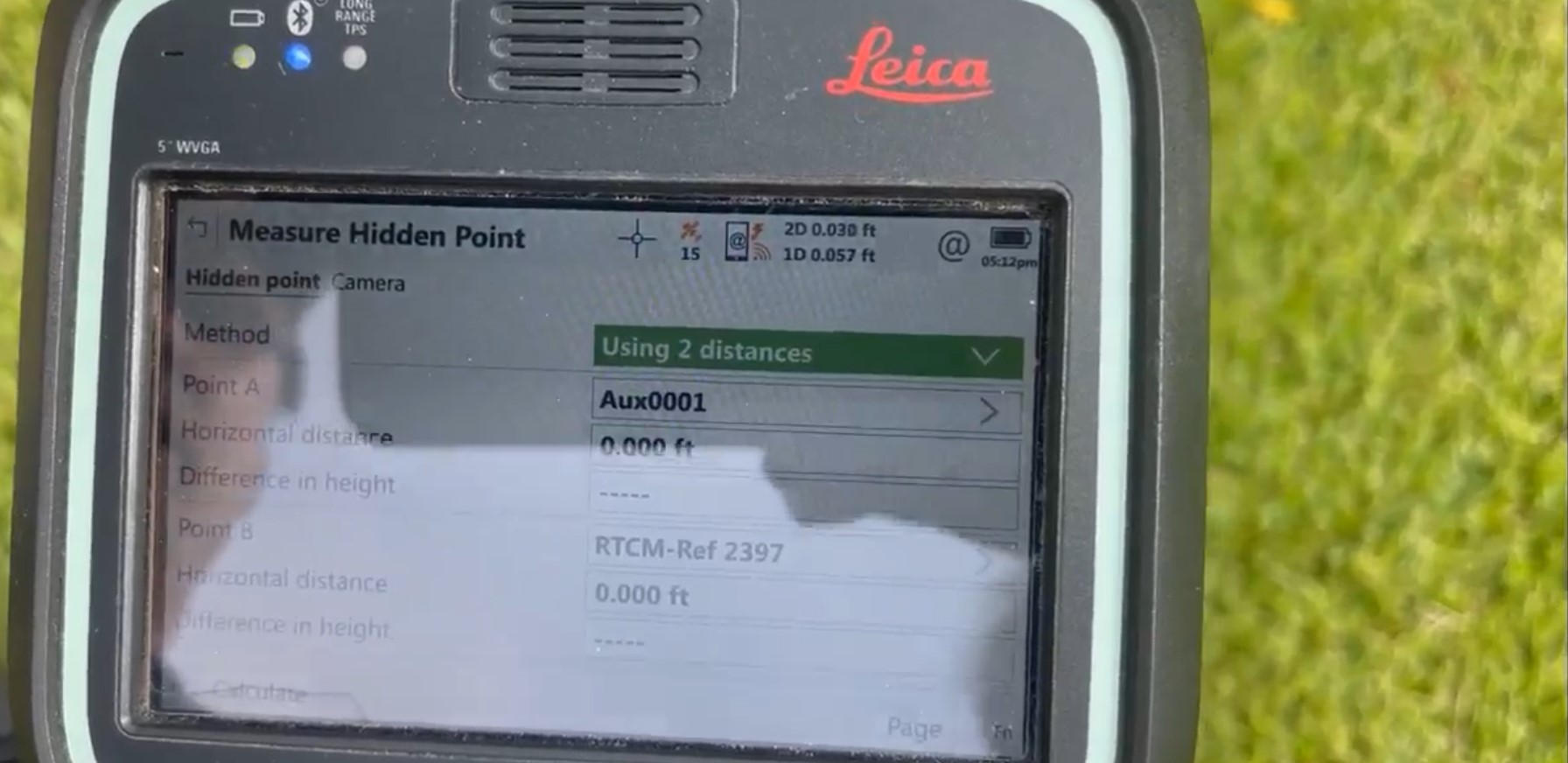
The Leica CS20 LTE-4g has a DISTO option to measure up to 450 feet to 3 mm for offsets, with a 2MP viewfinder. In these videos, G4 Geomatic Resources’ Jeff Ryall shows how to use the CS20 Disto option with GNSS RTK to quickly and easily survey inaccessible points using the bearing-distance routine, distance-distance routine and station-offset routine.
Bearing-Distance Routine
Distance-Distance Routine
Station-Offset Routine
To talk to one of our experts and learn more about solutions for surveying and mapping, please contact us.


