

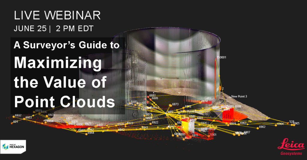
Full-scale point cloud management with automated point cloud analysis and modeling is easier than you think. In a webinar that is now available on-demand, Burke Asay and Michael Harvey of Leica Geosystems will take you from data capture to deliverable using a Leica MS60 MultiStation with Leica Captivate, Infinity and Cyclone3DR software to show you how to achieve seamless data transfers, full data traceability and compelling 3D deliverables and reports. You’ll learn:
- How to verify the quality of your data, correct errors and generate reliable reports to minimize your risk.
- How to use intuitive yet powerful point cloud management tools to automate common tasks and deliver actionable information.
- How to maximize the use of point clouds in your work and deliverables to provide the highest return on investment for you and your clients.
See how easy it can be to achieve an efficient field-to-finish workflow with the full potential of point clouds. Watch the webinar here.
Related: Webinar Series Guides Surveyors to Point Cloud Mastery
To talk to one of our experts and learn more about how to grow your surveying business, please contact us.


