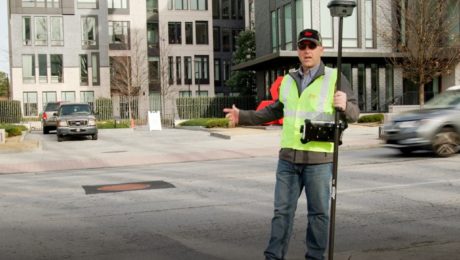
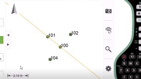
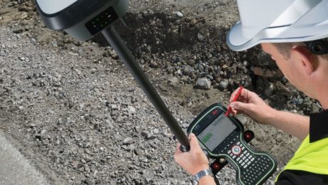
Video: Pro Tip – How to Use GNSS to Stay Safe in the Field
See how to capture manholes from the safety of the sidewalk with the help of visual positioning.
- Published in Featured Improve Your Skills, Improve Your Skills
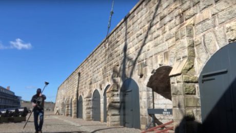
Video: Surveying Citadel Hill in Halifax with the GS18I GNSS RTK Rover
Andrew Gillis of Leica Geosystems shows how to capture what you see, even under canopy, as well as how to measure from images and do linework in the field.
- Published in Improve Your Skills
Video: How GNSS with Visual Positioning Optimizes an ALTA Survey
Working in areas that have previously been challenging for GNSS is no problem when your GNSS rover uses visual positioning
- Published in Improve Your Skills
Video: How GNSS with Visual Positioning Accelerates a Road Expansion Survey
Working in areas that have previously been challenging for GNSS is no problem when your GNSS rover uses visual positioning
- Published in Improve Your Skills
This New App Lets You Quickly and Easily Measure Offset Points
The secret to enhancing the standard offset capability of your total station is an easy add-on to your field software.
- Published in Improve Your Skills
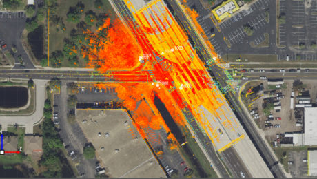
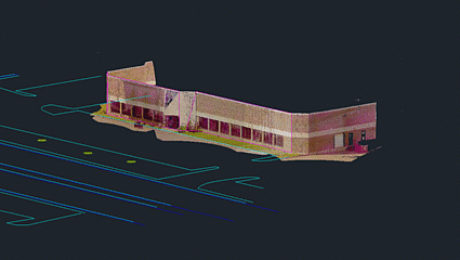
Webinar Series Guides Surveyors to Point Cloud Mastery
From how to choose the right laser scanner, to using point clouds in CAD and creating advanced deliverables, this webinar series walks you through everything you need to know.
- Published in Featured Improve Your Skills, Improve Your Skills
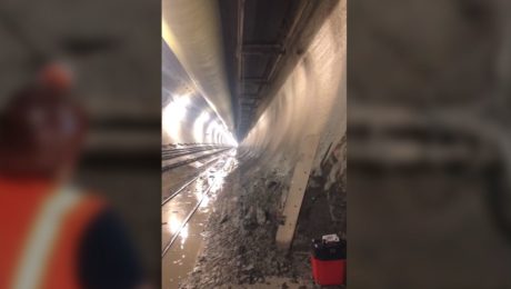
Video: Band Scanning Solves Tunnel Measurement Challenge
Using the Leica MS60 with the new band scanning method enables surveyors to capture comprehensive data in a tunnel 200 feet underground.
- Published in Featured Grow Your Business, Featured Home, Grow Your Business
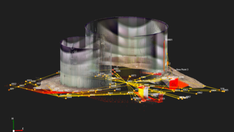
On-Demand Webinar Provides Tips to Help Surveyors Maximize Point Clouds
If you’ve already mastered the ability to integrate point cloud datasets with linework, it’s time to streamline your workflows and advance your deliverables.
- Published in Featured Home, Featured Improve Your Skills, Improve Your Skills
How to Close the Survey Data Transfer Gap
If you’re trying to increase efficiency on your surveying projects, take a close look at your data transfer process between the field and office.
- Published in Featured Home, Featured Improve Your Skills, Improve Your Skills
On-Demand Webinar Walks Surveyors Through Using Point Clouds in CAD
If you’re just getting started in laser scanning, learn the easy way to achieve seamless data transfers, full data traceability and efficient, effective drawings and models.
- Published in Featured Home, Improve Your Skills
