There’s always more than one way to do survey, and modern surveying technology gives you more options than ever before. Even if you encounter controlled environments or heavy canopy, you probably know all the workarounds.
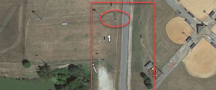
But in the quest for excellence, you can’t compromise on quality, efficiency or safety. This is where innovation can provide a significant advantage. Watch the video to see how the GS18I GNSS RTK rover with visual positioning was used to rapidly do a road expansion survey in an area with an inaccessible fenced electrical substation and heavy tree cover. The ability to measure from images in the field with clear QC values on every measurement ensures quality data with no data gaps.
Note: This video is an excerpt from a webinar. Watch the full webinar here: How to Use GNSS Innovations to Optimize Surveying Field Workflows


