Is your survey data transfer process as effective as it could be? Any time crews have to return to the office to obtain data, that’s time that could be spent elsewhere. Additionally, design data often changes; are your field personnel notified of those changes immediately? Can they send the day’s data to the office directly from the field for quality checks, reporting and further processing?
Fortunately, technology exists to streamline this data transfer process. In fact, making this process simple, seamless and efficient is the primary goal of Leica Exchange, the cloud-based service that provides a connection between the field and office. Over time, this service has become increasingly robust.
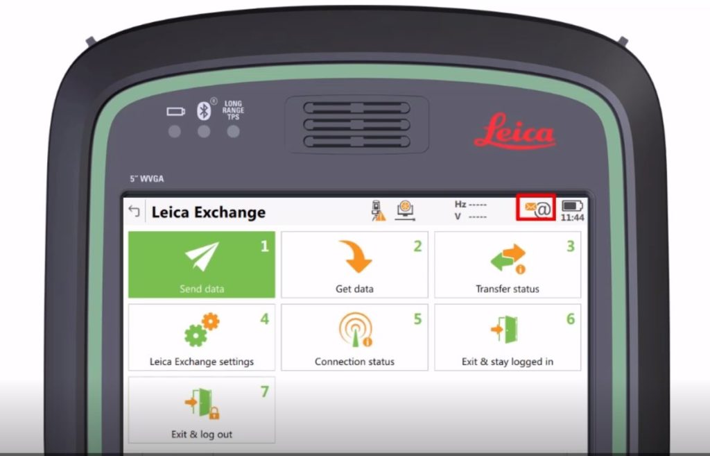
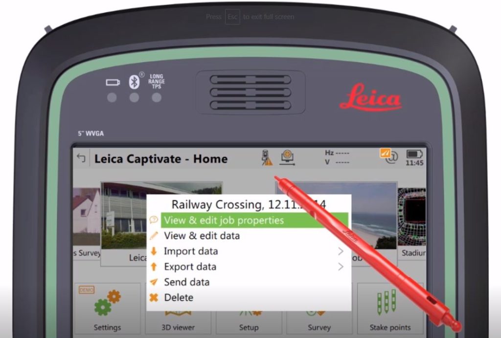
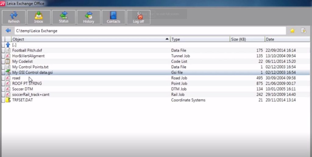
Through a basic transfer client installed on your office computer as well as all connected field instruments and controllers, your team gains instant access to project data from any location and can seamlessly import and export data to and from Leica Infinity software. The data exchange is a background operation, so your field personnel can keep working productively while sending or receiving data. This is particularly useful when transferring large files. When processes are complete or new data is available, everyone involved in the project is automatically notified.
Field crews can easily send data directly back to the office so it can be verified for quality and completeness prior to the surveyors leaving the site. Additionally, office personnel can get instant access to field data to provide additional guidance.
The service supports all job types, coordinate systems, code lists, data files and more, and it is scalable to the requirement of each business or organization.
“Leica Exchange is focused on maximizing the efficiency of the data flow,” says Burke Asay, technical support specialist for Leica Geosystems US/CAN. “Crews no longer waste time traveling to and from the office or other locations, and data can be sent to multiple crews simultaneously. Data flows instantly and easily between the office and field so firms can save time and money. The data is where it needs to be, when it needs to be there.”
A new Tech Tips video from the Leica Geosystems Surveying & Engineering (S&E) support team walks you through how to use Leica Exchange. Watch the video here.

>>Related: Do You Know What Your Total Stations and GNSS Receivers Can Really Do?
To learn more about Leica Exchange and explore surveying solutions that can help you maximize productivity and performance, please contact us.