

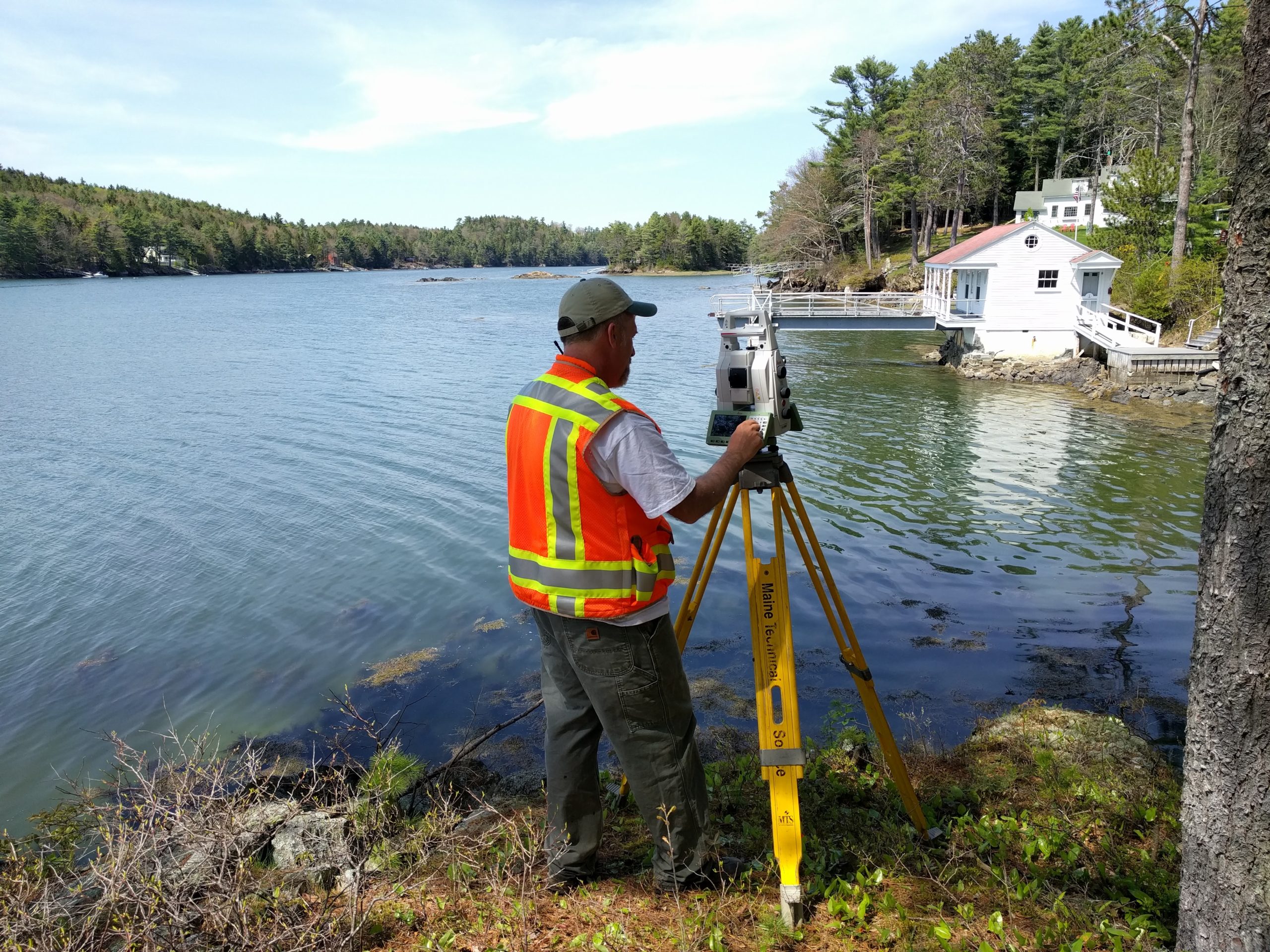
Titcomb Associates, a family-owned surveying business based in Falmouth, ME, maintains an unwavering commitment to providing excellent service and using best-in-class technology. One of the firm’s recent investments was the Leica Nova MS60 MultiStation, which combines a laser scanner and a robotic total station in one platform.
David E. Titcomb, PLS, the company’s owner, had already decided that the firm would only buy robotic total stations because they provide so much flexibility and power. But the MS60 added a key advantage.
“First of all, the MS60 is a great, and very fast, robotic total station,” Titcomb explains. “Adding scanning to that made sense for us. It lets us do work we couldn’t do before, is much faster for some projects and, most importantly, I already knew that there was some work we were doing that would be much safer with a scanner.”
 The Easiest Way to Add Laser Scanning to Your Surveying Capabilities
From multistations and scanning total stations to portable and easy-to-use laser scanners, the technology landscape is both intriguing and confusing. This on-demand webinar answers the most common questions about laser scanning and gives you the insight to make an informed decision.
Faster, Safer Roadway Surveys
The work he was thinking of was roadway projects, one of Titcomb Associates’ largest areas of focus. The company regularly surveys bridges, roadways and intersections for a number of engineering consultants. “For interstate or turnpike projects they’ll always close lanes for us, but there are some places, like on-ramps, where it’s just really hard to do a lane closure and make it safe.” Now, in those situations, Titcomb crews set up the MS60 well off the road and use the scanning capabilities to perform a fast, accurate topographic survey without getting anywhere near traffic.
RELATED: Webinar Series Guides Surveyors to Point Cloud Mastery
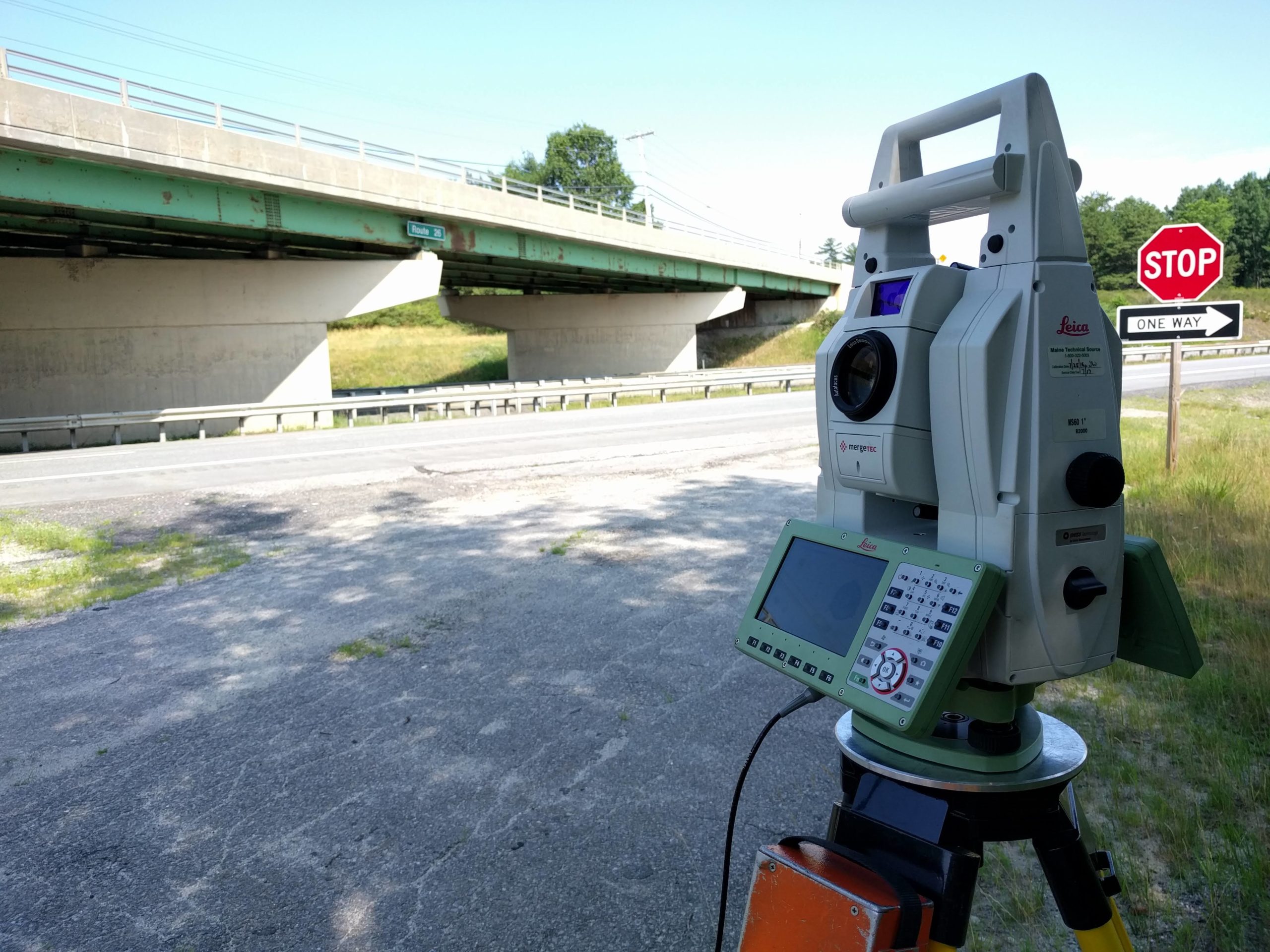
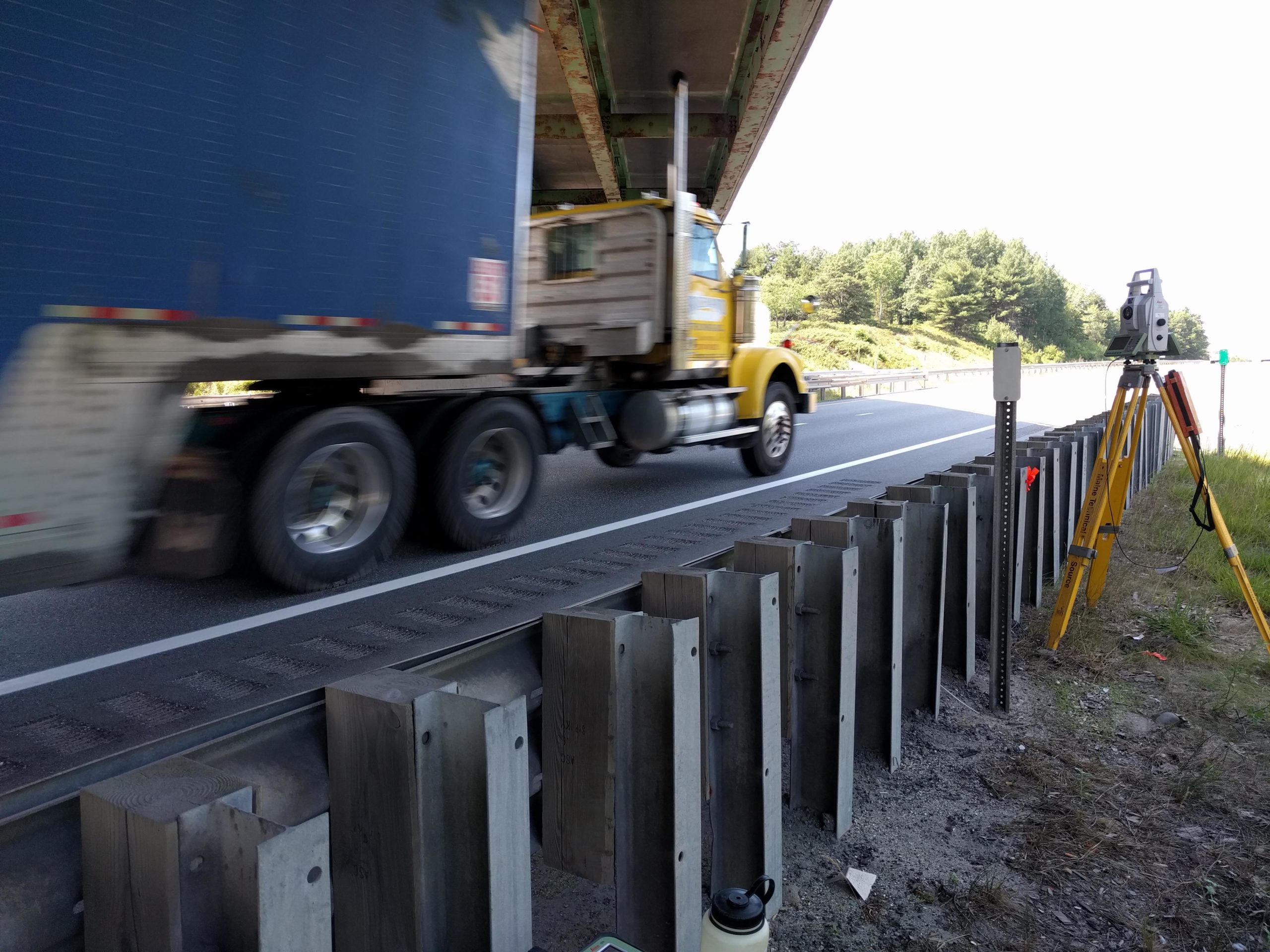
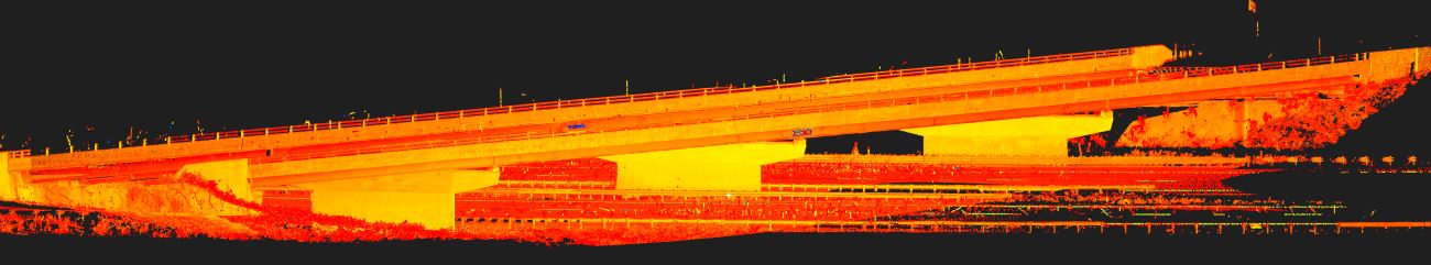
The safety benefits of scanning are even more obvious when surveying bridges. “We used to be up on ladders, near traffic, when we surveyed bridges,” Titcomb explains. “It was very unsafe. Now we’ll never have to do it that way again.” Instead, his crews can simply scan the entire bridge deck in just a few minutes with greater accuracy than before and from a safe vantage point on the ground.
Comprehensive Data Eliminates Return Trips
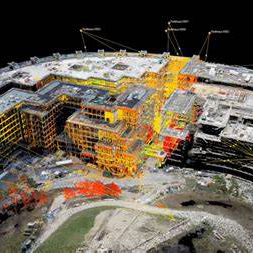
Aside from roadway and bridge projects, Titcomb Associates keeps the MS60 busy with standard engineering and architectural support projects. The firm realized early on that most of their clients don’t really care how data is gathered, and very few in their region wanted a point cloud as deliverable. But the MS60, used as a scanner, can do most of this work—topos, as-built surveys, roadway cross sections, site monitoring, building interior surveys, etc.—much faster than conventional surveying, more accurately and more safely, while gathering far more data. (Related video: This survey firm knows the secret to great client relationships.)
An important side benefit is being able to view the point cloud data in the field with the Captivate software to make sure the crew has captured everything they need before they come back to the office, thereby eliminating return trips. “If we can do all that,” says Titcomb. “Then it doesn’t matter if the client knows that we’re using a scanner—we’re still getting a lot more quality work done, and making money at it.”
To find out whether a MultiStation would be a good fit for your needs or to request a demo, please contact us.


