Available On Demand
You'll Learn
- How to use technology to maximize field efficiency
- How to use field software and apps with smart data transfers to ensure fast workflows and seamless data management
- How to eliminate data processing bottlenecks
- PLUS – go behind the scenes on the latest innovation, the new AP20 autopole with automatic tilt compensation, pole height measurement and target locking
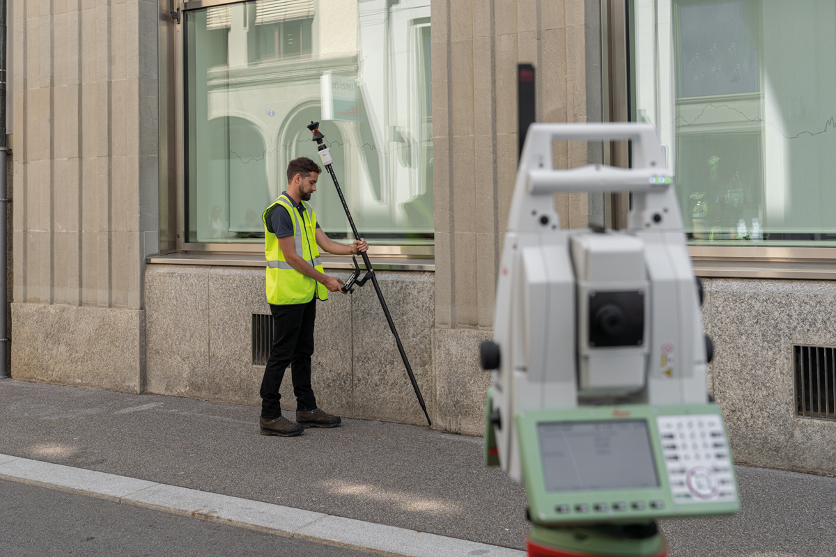
The last few years have seen unprecedented advances in surveying technology. Total station laser scanners, GNSS tilt rovers and visual positioning sensors, and field and office software with automated workflows all offer incredible time savings. Now a new industry first, the Leica AP20 tilt compensating prism pole, promises a significant boost in field productivity.
But maximizing efficiency with technology requires more than just the right tool; you also need a strategic approach to training, operations and workflows. In this 60-minute live Q&A with Leica Geosystems’ Burke Asay and other subject matter experts, we’ll explore the real-world implications of some of the latest technology advances along with insights on how to put technology to work in your firm.
Register now to reserve your seat, and bring your questions to ask the experts.

Burke Asay has more than 20 years of experience working with surveying technology. He began his career as a surveying technologist for Nantucket Surveyors in Massachusetts, where he developed his appreciation for fast, dependable and accurate hardware and software. From there he applied his field knowledge to developing System 1200 applications with the Leica North America Software Development Team in Montreal. For the last 15 years, Burke has supported surveyors and engineers in the US and Canada as an application and technical support specialist, focusing on Leica Geosystems solutions. He recently stepped into the role of product manager for the U.S. and Canada, where he listens to the ideas, needs and challenges of professionals to help drive developments that will increase surveying efficiency and productivity. Burke has a diploma in Geomatics from the British Columbia Institute of Technology.

Pierre Labbe has honed his expertise in surveying technology throughout his professional career, beginning as a survey engineer specialist before joining Leica Geosystems as a technical support specialist in 1999. Over the last 23 years, Pierre has served in a number of support roles, gaining a reputation as a trusted resource for training and optimization of both surveying hardware and software. Today, as senior support engineer for geomatics, Pierre manages the support team and continually raises the bar on customer service excellence.

Russell Snell is an experienced field-to-finish land surveyor with a demonstrated history of working in the civil engineering industry. Skilled in boundary surveys, project estimation, GPS and Civil 3D/AutoCAD applications, Russell has seen firsthand the efficiency benefits of technology that is strategically implemented and fully utilized. As a survey technical support specialist based in California, Russell is dedicated to helping professionals maximize their technology investments.
To talk to one of our experts and learn more about how to optimize your surveying potential with technology, please contact us.
