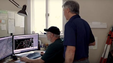
New Video Offers Sneak Peek of Industry-Defining Survey Technology
What if inaccessible areas no longer posed a challenge for safety and productivity? A new video provides a glimpse of what’s coming.
- Published in Improve Your Skills
5 Keys to Unlock Your Surveying Potential
Now more than ever, you need innovative and reliable surveying methods. Here’s how you can unlock your potential during the pandemic and beyond.
- Published in Improve Your Skills
Video: A Fast and Easy Way to Achieve Centimeter-Level Accuracies in Your Field Surveys
What’s the fastest way to get started on your GNSS surveys while meeting centimeter level accuracies tied to a common local datum? Andrew Gillis shows a simple approach.
- Published in Improve Your Skills
GIS Integration Provides Path to Real-Time Asset Intelligence
A GNSS smart antenna with an integrated GIS workflow increases efficiency, ensures accuracy and accelerates the turnaround of deliverables to clients.
- Published in Grow Your Business
Video: How Technology Affects Speed in a Topographic Survey
A test of the MS60 MultiStation with the GS18T RTK rover and Smartpole shows how quickly you can perform a site topo if you have the right technology.
- Published in Grow Your Business
Video: Testing the Leica GS18 T Under Canopy
The Leica GS18 T is so smart that it can find signals and deliver corrections under the most challenging scenarios. So what happens when you take it in the woods?
- Published in Improve Your Skills
Video: An Easy Way to Create Linework in Captivate
A new video shows an easy way to create linework in Leica Captivate without having to use start/stop commands on descriptions/codes.
- Published in Improve Your Skills
Video: This Survey Firm Knows the Secret to Great Client Relationships
What’s the best way to set your firm apart and complete high-quality work quickly and accurately? Titcomb Associates shares their strategy.
- Published in Featured Grow Your Business, Featured Home, Grow Your Business
How Surveying Technology Partnerships Create a Solid Foundation for Smart Cities
Accurate geospatial data is crucial to creating the cities of the future. Sam Dougherty, PLS, explains why working with the right technology partner matters.
- Published in Grow Your Business


