

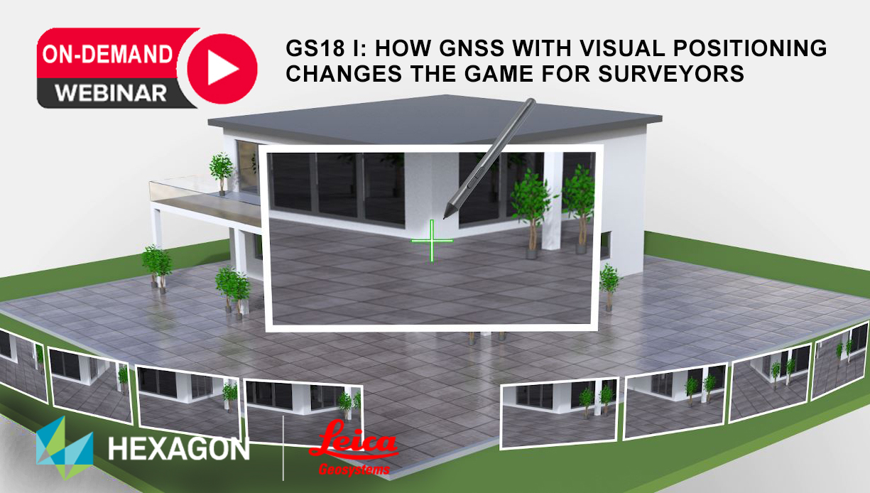
Imagine the power to measure what you see … that was the theme of a teaser video from Leica Geosystems. On August 17, the new technology was announced by Hexagon. The new GS18 I is the world’s first smart antenna with integrated visual positioning. Learn more here.
The Leica GS18 I enables users to measure hundreds of points within minutes. Integration with Leica Captivate field software enables intuitive onsite point measurements and quality assurance from the field. Further measurement of the captured images is supported by integration with Leica Infinity office software, which also enables the creation of automatically registered and referenced 3D point clouds from the images in standard export formats for use in a variety of point cloud software.
To talk to one of our experts and learn more about this groundbreaking new solution, please contact us .


