Video: The Mobile Mapping Office Workflow That Gets Data Out Quickly
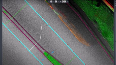
Kyle Palmer, RPLS, shows the key to making mobile mapping data management and deliverable creation as fast and easy as the field data collection.
- Published in Improve Your Skills
Video: Mobile Mapping a Roadway with Zero Post-Processing
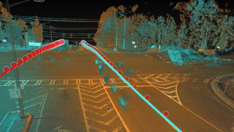
Explore a cross section of Leica Pegasus TRK mobile mapping data with RTK corrections applied during the collection to achieve tight overlapping scans with no post-processing required.
- Published in Improve Your Skills
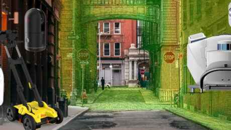
Video: An Easy Way to Capture Detailed Storm and Sanitary Data in a Two-Minute Site Survey
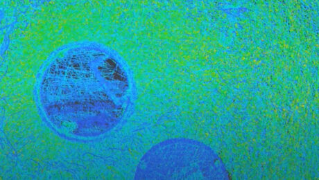
An imaging laser scanner with a highly automated workflow and intuitive apps enables survey work to be done in a fraction of the time compared to traditional approaches.
- Published in Improve Your Skills
How to Stop Overpaying for Your Mobile Mapping Imagery
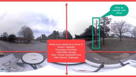
If you’re assessing your mobile mapping capabilities in terms of megapixels and image quality instead of image value, you’re leaving money on the table, says Jason Ellis. Here’s how to change it.
- Published in Grow Your Business
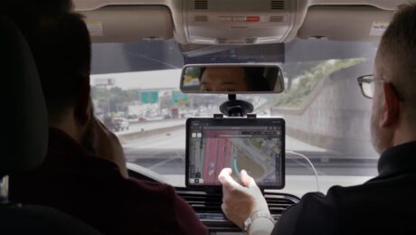
Ride Along with the Leica Pegasus TRK
Experience the autonomy, intelligence and simplicity of the world’s most innovative mobile mapping system in this on-demand live stream recording.
- Published in Featured Grow Your Business, Featured Home
How to Build a Skilled, Diverse and Inclusive Workforce in Land Surveying
Beth Anne Campbell, president of MidAtlantic Surveying and Land Design, shares her insights on the talent shortage, the Women Surveyors Summit, and the need for diversity in the surveying profession.
- Published in Featured Grow Your Business, Featured Home, Grow Your Business
Esri UC 22 Highlights: The Future of GIS Data Collection, Mobile Reality Capture, GPR Utility Detection and More
Explore the fastest, simplest solutions for capturing and delivering high-accuracy mapping data at Booth 619.
- Published in Featured Improve Your Skills, Improve Your Skills
How Arora and Associates, P.C., Became a Global Leader in Mobile Mapping Capabilities
The family-owned consulting engineering firm is the world’s first company to use the Leica TRK500 Neo mobile mapping system—but a commitment to technology innovation is just part of the story.
- Published in Featured Grow Your Business, Grow Your Business
Arora and Associates, P.C., Becomes First Company Worldwide to Invest in Leica Pegasus TRK500 Neo
Adding autonomous, intelligent mobile mapping capabilities to its award-winning engineering, surveying, planning and construction management services gives the consulting engineering firm an edge in projects requiring fast turnaround and exceptional quality.
- Published in Featured Grow Your Business, Featured Home, Grow Your Business
Video – The Future of Mobile Mapping: The Leica Pegasus TRK
In this TUC22 presentation, Jason Ellis explains why the latest innovation in mobile mapping will change how you think about reality capture.
- Published in Improve Your Skills
