REALITY CAPTURE EDUCATION SERIES:
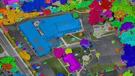
How to Cut Your Drone Survey Workflow from Hours or Days to Minutes
Join Seth Gulich in this on-demand session to see how easy it can be to go from field to finish with your drone data using Cyclone 3DR software.
- Published in Improve Your Skills
How to Get Instant Self-Serve Support for Your Survey Gear
When productivity is paramount, the Leica Geosystems Knowledgebase and User Community gives you the answers you need to get back up and running quickly.
- Published in Improve Your Skills
HDS University Returns in 2023 with Even More Surveying Educational Value
With classes on laser scanning, GNSS, survey workflows, data management, and deliverable creation, HDS University 2023 should be on every surveyor’s agenda.
- Published in Featured Home, Featured Improve Your Skills, Improve Your Skills
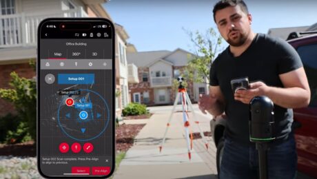
Video Review: Rami Tamimi Evaluates the New BLK360 Imaging Laser Scanner
Can you use the second-generation BLK360 as a surveying tool? Rami puts the technology to the test in this video.
- Published in Grow Your Business
REALITY CAPTURE EDUCATION SERIES:
Two Easy Ways to Achieve Grid to Ground Coordinate Transformations with Mobile Mapping
Join Kyle Palmer in this on-demand session to learn how easy it can be to localize and transform the coordinate values in your mobile mapping projects.
- Published in Featured Home, Featured Improve Your Skills, Improve Your Skills
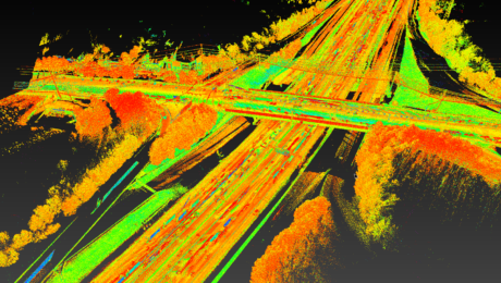
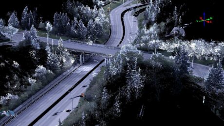
Nektar 3D Advances Transportation Engineering with AI and Mobile Lidar Innovation
An investment in the Leica Pegasus TRK is the latest move by the firm to provide world-class data collection and processing services to transportation agencies and engineering consultants across Canada.
- Published in Featured Grow Your Business, Grow Your Business
New Cloud Software from Hexagon Promises to ‘Change the Way Reality Capture Professionals Work’
Early reviewers of Reality Cloud Studio highlight big changes in the way users will process, deliver, and visualize point cloud data.
- Published in Grow Your Business
REALITY CAPTURE EDUCATION SERIES:
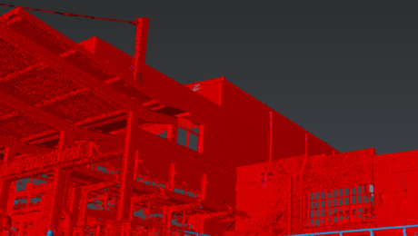
A Faster Way to Clean and Separate Point Cloud Data
Join Jason Dixon in this on-demand session to learn how to accelerate your point cloud management workflow with Cyclone 3DR.
- Published in Improve Your Skills
Video: How to Create a High-Value Cross Section Survey Report in Minutes
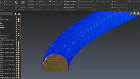
Jonathan Efaw shows how to rapidly create a high-value, actionable report of tunnel cross sections in Leica Cyclone 3DR software.
- Published in Improve Your Skills
Video: New Ultralight Mobile Mapping System Offers ‘Amazing Experience,’ Easy Entry Point
Jason Ellis explains why organizations that previously believed mobile mapping was out of reach have a new reason to rethink this assumption with the lightweight, flexible Leica Pegasus TRK100 mobile mapping system.
- Published in Improve Your Skills

