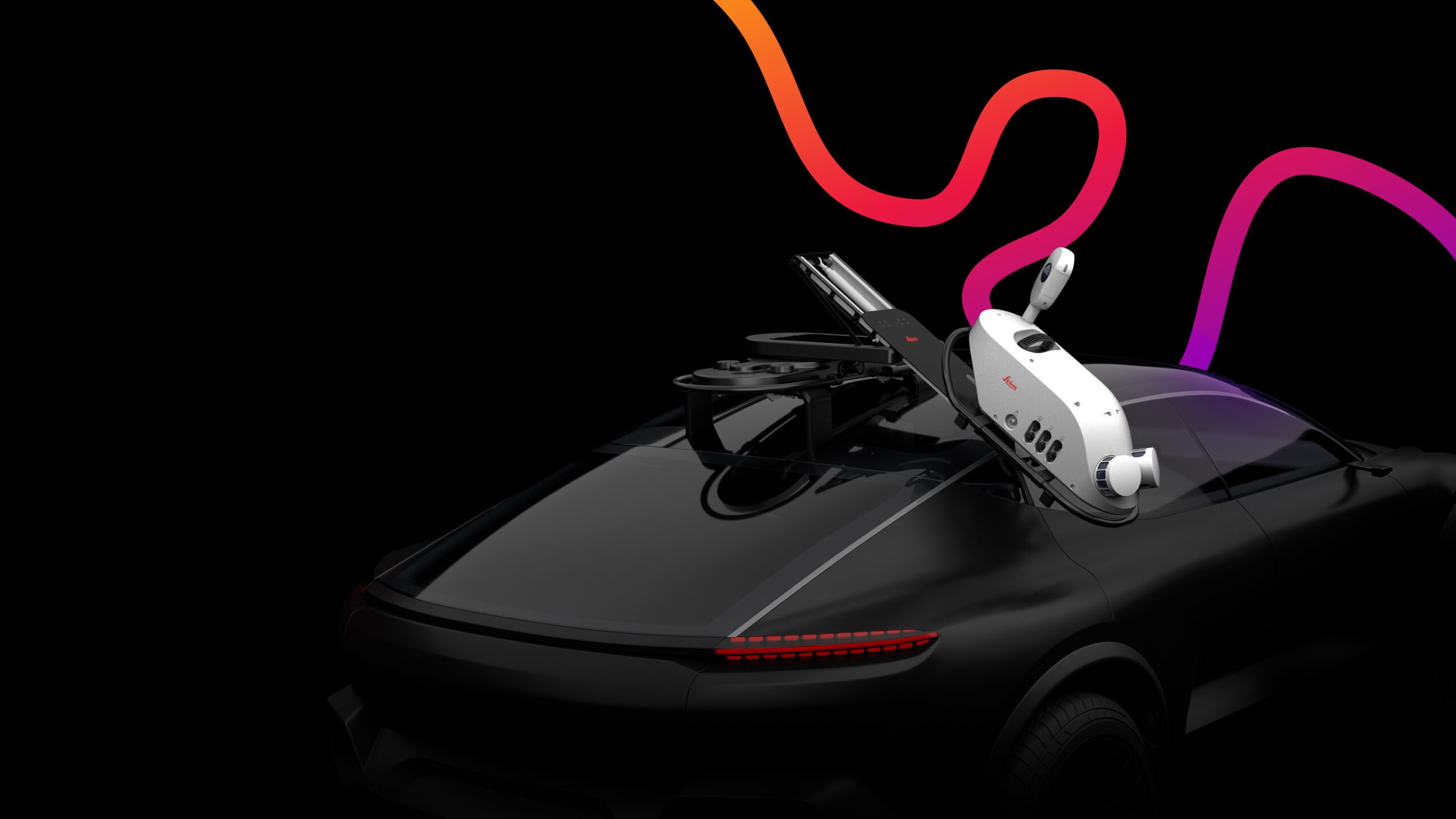
Jason Ellis explains why organizations that previously believed mobile mapping was out of reach have a new reason to rethink this assumption with the lightweight, flexible Leica Pegasus TRK100 mobile mapping system.
After more than two decades of working with lidar data and at least half that working with mobile mapping, Jason Ellis is well acquainted with all the pain points. Heavy hardware, extensive pre-planning requirements, complex and time-consuming data management — all these drawbacks have presented a significant barrier to many organizations that had a need for large-scale, high accuracy data capture. Today, that barrier has been eliminated.
Thanks to technology innovation from Leica Geosystems that incorporates the latest in automation and artificial intelligence, geospatial professionals in a range of industries can now use the powerful capabilities of mobile mapping on a wider array of projects to achieve a fast ROI.
The Leica Pegasus TRK500 and TRK700 mobile mapping systems, introduced in May 2022, are characterized by a simple yet rugged design, easy-to-use interface, automated workflows, and high-quality data capture. In May 2023, Leica Geosystems launched a new model, the Pegasus TRK100, which is even lighter and smaller at just 30 lbs.
RELATED: Watch as we challenge the Pegasus TRK in real-world applications >
While the newest TRK system is designed to provide the quick and autonomous data collection and asset information capture required by GIS professionals in utilities, telecommunications, and road maintenance, it also serves as an easy entry point to mobile mapping for surveying and engineering firms.

A highlight of the Pegasus TRK100 is the MatchPoint technology, which combines AI and a unique learning algorithm to enhance and optimize the clarity of points in post-processing for improved accuracy. The system provides essential location intelligence for georeferenced visual data.
But what impresses Jason the most isn’t the lidar capabilities or the imagery capture of the TRK100.
“Honestly, what’s special about the TRK is the experience,” he says. “And that’s pervasive through all of the units, the 100, the 500, the 700. The experience is the same, and the experience is, ‘Wow, this is easy and the results are amazing!’”
Jason also talks about cost and how to choose between the different mobile mapping systems. Watch the Tech Insider interview for more insights.
To talk to one of our experts and learn more about ways to optimize your surveying potential, please contact us.


