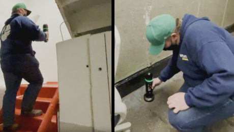
Innovative Laser Scanning Approach Yields Rapid Results in Time-Critical Surveying Project
When high-speed wasn’t fast enough, McLaren Engineering Group turned to high-tech in the form of a handheld imaging laser scanner to deliver the ultimate value.
- Published in Grow Your Business
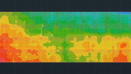
Video: How to Accelerate FF/FL Reporting with a Simple Software Plugin
Peyton Hatch shows an easy way to create FF/FL reports from point clouds using Leica CloudWorx.
- Published in Improve Your Skills
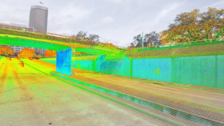
New Autonomous Reality Capture Sensors Make Digital Twins Effortless
New fully autonomous solutions safely and repeatedly capture accurate 3D point clouds and panoramic images of changing environments with minimal user intervention.
How to Use Reality Capture Innovation to Your Advantage
From knowing which systems you need to understanding how to get a fast return on your investment and optimize your workflows, these two on-demand sessions give you new insights on reality capture.
- Published in Hide
On-Demand: TUC21 Keynote and Reality Capture Sessions
Watch these two on-demand sessions from the 2021 TopoDOT Users Conference to learn about the latest technology advances, how to get a fast return on your investment and how to optimize your workflows.
- Published in Hide
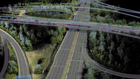
Are You Mobile Mapping Yet? Here’s Why You Should Be
Jason Ellis shares how the journey from surveying and civil engineering to mobile mapping is really just a matter of choosing to create new opportunities
- Published in Grow Your Business
How to Grow Your Business with 3D Laser Scanning
3D laser scanning can help you create new opportunities, increase your competitiveness and improve productivity. Learn how to put laser scanning to work for your firm.
- Published in Featured Grow Your Business, Grow Your Business
On Demand Webinar: How to Unlock Your Surveying Potential with Reality Capture
Learn how TWM launched its land surveying department into an entirely new trajectory as a self-sufficient leader in billings, profit and innovation.
- Published in Grow Your Business
On-Demand Webinar: Automation, Digitalization and the Rise of the Next Generation Surveyor
Discover how to harness technology to achieve a digital transformation that will have an impact on your current business and the future of the profession.
- Published in Featured Grow Your Business, Grow Your Business
Explore the Latest in GIS, Reality Capture and Detection in These On-Demand Sessions from the 2020 Esri UC Virtual Event
Virtual GIS event provides unique opportunities to discover cutting-edge solutions for asset collection and mapping.
- Published in Featured Improve Your Skills, Hide, Improve Your Skills

