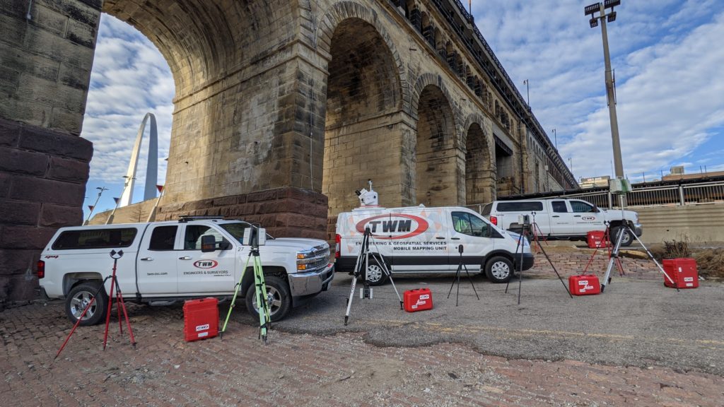
Every successful, growing surveying and engineering business eventually faces the dichotomy of either hiring more people to handle the increasing workload or becoming more selective in accepting new projects. TWM, an engineering and geospatial services firm based in St. Louis, recognized a third, more powerful approach. Under the leadership of Geospatial Services Manager Derek Twente and Geospatial Data Manager Andy Joost, the firm has strategically and continually made reality capture technology investments over the past decade that have launched its land surveying department into an entirely new trajectory as a self-sufficient leader in billings, profit and innovation.
“In our geospatial group, we live by the quote: ‘Success breeds complacency. Complacency breeds failure.’ So we’re always looking at pushing the limits with this technology. We view success as the art of leaping from one burning platform to the other. And if the platform we’re currently standing on isn’t burning, someone’s more than happy to set it on fire.”
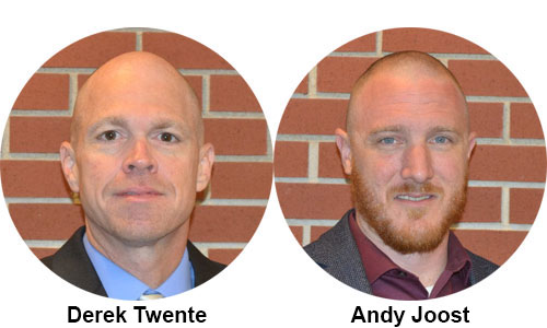
– Twente
In this webinar that is now available on demand, Twente and Joost share insights from their journey into laser scanning and mobile mapping dominance. You’ll learn:
- How to correctly evaluate laser scanning and mobile mapping technology
- When and why to make the jump into mobile mapping
- How to measure the ROI of technology investments
- How to use technology to increase revenue and expand capacity
“We went from being a support service to essentially leading the company in sales and revenue. And we saw a lot of this growth as the result of our willingness to invest in technology—not just reality capture, because we also got into some GIS services, utility locating and using UAVs. But most of our success was sparked from our investment in laser scanning.”
– Twente
Fill out the form above to explore new ways to grow your business and capabilities with technology.