3 Things Successful Survey Companies Do Differently
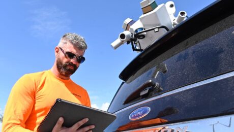
Craig Williams, PS, and Brian Elbe, PS, of Leica Geosystems along with Russell Hall, PLS, of Langan shared their insights on a recent episode of The Geoholics.
- Published in Featured Grow Your Business, Grow Your Business
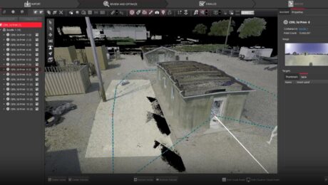
Ask the Reality Capture Experts: Cyclone Core vs. Cyclone 3DR
What’s holding you back from moving to Cyclone 3DR? Watch this on-demand session to get the answers you need to advance out of Core and into Cyclone 3DR with confidence.
- Published in Featured Home, Featured Improve Your Skills, Improve Your Skills
AI and the Future of Reality Capture
A podcast interview with Michael Harvey explores how AI and automation are revolutionizing reality capture and empowering professionals with unprecedented efficiency and accuracy.
- Published in Improve Your Skills
Video: How to Unlock the Power of 3D Scanning with Cloud Tools
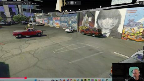
Mike Harvey provides an overview of Reality Cloud Studio, powered by HxDR.
- Published in Improve Your Skills
The Geoholics Host Leica Geosystems’ Craig Williams and Brian Elbe
Why did Craig and Brian join Leica Geosystems? What trends are they seeing? And what insights do they have on the latest technology? Tune in to The Geoholics Episode 236 to find out.
- Published in Grow Your Business
REALITY CAPTURE EDUCATION SERIES:
A Faster BIM Workflow
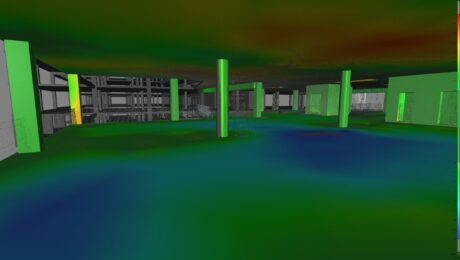
Join Patrick Crawford, GISP, in this on-demand session to learn how Leica CloudWorx for Revit can help you accelerate the creation of building information models from reality capture.
- Published in Featured Home, Featured Improve Your Skills, Improve Your Skills
REALITY CAPTURE EDUCATION SERIES:
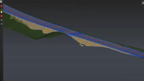
How to Create Impressive Surface Models in a Snap
Join Seth Gulich in this on-demand session to learn a lightning-fast way to create survey deliverables that are loaded with detail.
- Published in Featured Improve Your Skills, Improve Your Skills
Video: Where the Magic Happens in Reality Capture and What Comes Next
Senior Reality Capture Product Manager Michael Harvey delves into the most meaningful reality capture developments, the biggest challenges, and exciting new opportunities in this intriguing Tech Insider interview.
- Published in Featured Grow Your Business, Grow Your Business
Video: How Zahner Uses Reality Capture to Break Down Communication Barriers in Architectural Design and Building Construction
Nathan Barnes and Ryan Sutton share insights on how they choose their technology and business partners in this Tech Insider interview.
- Published in Featured Grow Your Business, Grow Your Business
REALITY CAPTURE EDUCATION SERIES:
Ask the Experts – Q&A Recording
Did anyone stump the Leica Geosystems reality capture trainers in the live, interactive Q&A session? Watch the on-demand recording and take away new skills that will help your productivity soar.
- Published in Featured Home, Featured Improve Your Skills, Improve Your Skills
