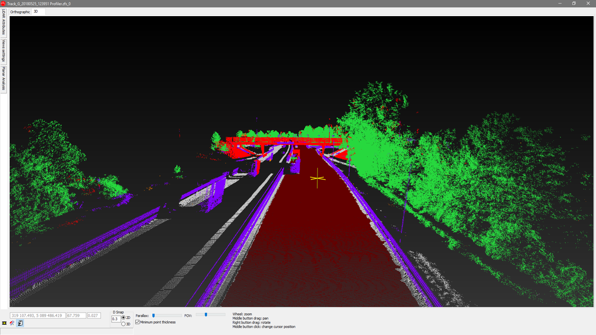
LiDAR technology has been in use for quite some time for a wide range of applications. The next step is combining survey-accurate datasets to create a fully accessible real-time 3D map—or, in the case of the state transportation agencies, a virtual transportation corridor complete with point clouds, imagery and other geospatial data. The information can then be used for 3D design and intelligent construction systems, as well as streamlining asset management and improving public safety.
 “Ultimately, we want to get people off the highway as much as possible. If we can save one of our employee’s lives, that’s a huge benefit. And most of us are being asked to do more with less these days, so this is one way we can do that. We’re pretty excited about it.”
– Chris Glantz
This transformation is already happening, and one of the agencies leading the charge is the Oregon Department of Transportation (ODOT). For mobile mapping, ODOT uses a Leica Pegasus:Two system to gather survey grade-data. The scanner generates a point cloud that accurately measures and models existing roadway conditions. ODOT is exploring how mobile scan data can complement data collection throughout the agency.
In this webinar, Chris Glantz, Lead Remote Sensing Surveyor in the Geometronics Unit at ODOT, provides a behind-the-scenes look at how mobile mapping both informs basic operations and provides high value intelligence across the agency. Hear how ODOT uses mobile mapping for:
- Vertical clearance measurement
- Collision reconstruction
- Pavement marking analysis
Plus, get insights on how ODOT shares the data across the agency, and where the team is going next with technology. Whether you work for a transportation department, handle contracts from state agencies, or want to learn about new opportunities in 3D mapping, this is a webinar you won’t want to miss.
Fill out the form above to explore new ways to grow your business and capabilities with technology.


