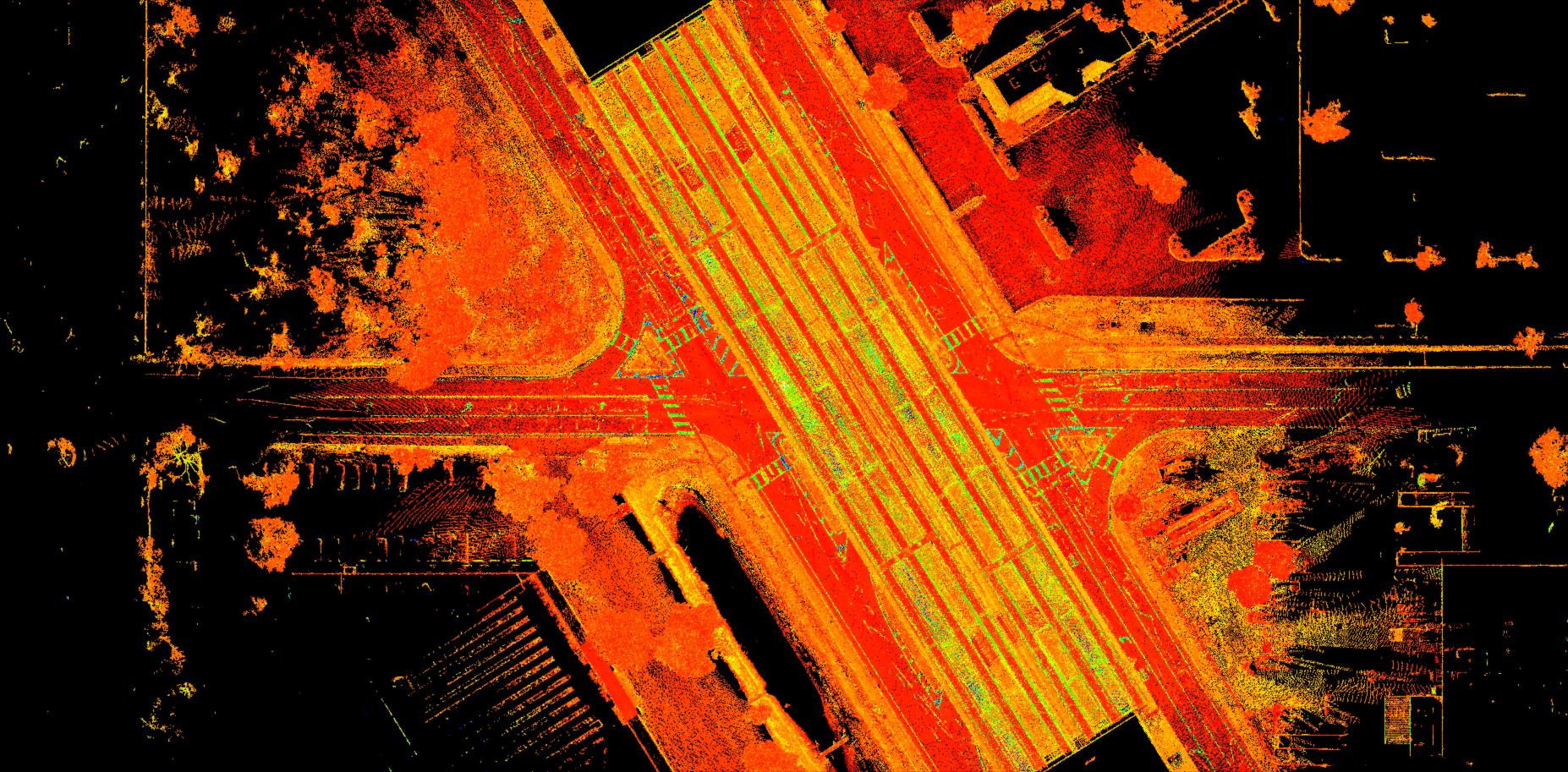
Surveying service providers are increasingly adding 3D laser scanning and other reality capture equipment to their technology toolbox, and for good reason. Laser scanners capture comprehensive data on buildings, infrastructure and environments through 360-degree images and millions of accurate measurement points collectively known as point clouds, allowing the captured data of various sites to be documented quickly and analyzed directly in the field for QA/QC.
As the popularity of the technology has accelerated, a vast array of new options has emerged, all of which make various claims regarding speed, accuracy and quality. If you’ve decided you need a dedicated laser scanner with high-speed capabilities, how can you determine which technology is the best fit for your application?
Capabilities to look for include scan speed and image capture, the data quality of the scans at high speed, the image quality, how accuracy is determined, how data is managed, how in-field pre-registration in performed, and how well the solution integrates with other technologies. This Hexagon Geosystems blog post guides you on how to make a good comparison.
Not sure whether you need a dedicated laser scanner or a scanning total station? Check out this webinar to learn how to make the best decision for your firm.
Register for the webinar here.
To talk to one of our experts and learn more about how to grow your surveying business, please contact us.


