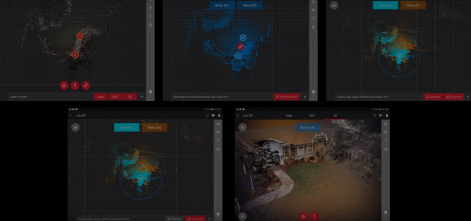
Laser scanning is widely known as the fastest way to collect accurate, comprehensive as-built data. But capturing the data is just one piece of the workflow. The individual laser scans then need to be combined, or “registered,” into a single point cloud. With conventional laser scanners, this process is performed in the office using post-processing software after the data acquisition is complete. This is usually the first time the operator is able to investigate the result of the scanning project and check the completeness of the data acquisition. In many cases, it can to two to three minutes or more to stitch scans together where overlapping features are not easily identifiable. If any areas are missing, a return trip to the site will be needed to perform additional scans.
In-field pre-registration avoids costly rework and significantly streamlines the work in the office. After each scan, acquired data in the field is automatically registered with the previous scan data. The resulting combined point cloud is instantly accessible on a mobile tablet computer. This allows the operator to immediately see what data has been captured and what data is missing, optimally plan the next scanner setup and, above all, perform a completeness check while still onsite. This capability is possible with visual inertial system (VIS) technology, which is achieved through an inertial measurement unit (IMU) and five VIS cameras built into the RTC360 laser scanner. (Read more about the development of VIS technology here.)
Watch the video to see how this leap in efficiency can translate to ROI gains of 40% or more.
To learn more about laser scanning and explore how it can help your firm increase efficiency and grow your business, please contact us.
>>RELATED: Do you need a dedicated laser scanner or a scanning total station (multistation)? Explore the difference in workflows between the RTC360 laser scanner and MS60 multistation in this on-demand webinar: The Easiest Way to Add Laser Scanning to Your Surveying Capabilities.


