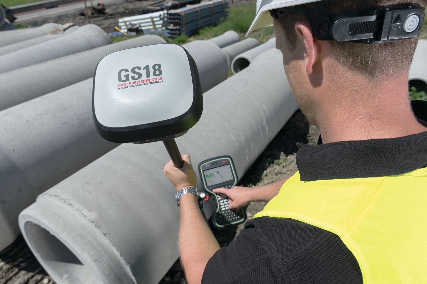
Paul Dainty, an application engineer at Leica Geosystems, explains it this way: “The Leica GS18 T is different from any other product in the market because it does not rely on a magnetometer to correct the pole tilt for each measurement. A magnetometer is affected by metallic objects, like vehicles, iron fences and beams or even reinforced concrete, all of which are often found on construction sites. In order to provide accurate and reliable tilt values, Leica Geosystems developed an application-specific, powerful and lightweight inertial micro unit (IMU), which is built into the GNSS antenna. The real-time tilt compensation combines GNSS data with the IMU’s tilt and direction values. Different to magnetometer-based GNSS antennas, the GS18 T’s tilt compensation does not need to be calibrated and is immune to metallic object interference.”
When asked about the ability of the GS18 T to perform in difficult conditions like heavy canopy or urban canyons, Dainty explains, “Like the Leica Viva GS16, the Leica GS18 T is a self-learning GNSS Smart Antenna with a high-class performance. This adaptive measurement engine with RTKplus provides measurement engineers on construction sites with the best position by automatically selecting the optimal signal combination. In addition, the GS18T is well prepared for the future. With its 555 channels, it is able to track all signals from all major GNSS systems worldwide, like Glonass, Galileo, BeiDou or QZSS (more details can be found in the GS18 T datasheet).”
To read the full story, including how to determine true pole tip accuracy and how tilt compensation affects stakeout jobs, go here.
To request a demo or learn more about surveying solutions, please contact us.


