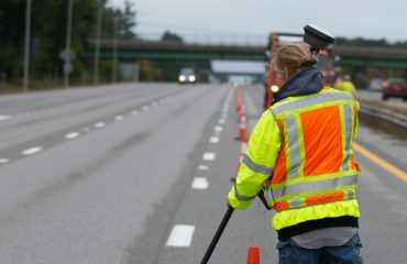
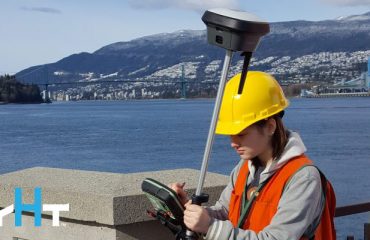
Speed, accuracy and safety are key objectives in any engineering project, and Stahl Sheaffer Engineering, LLC, has it down to a science. The civil engineering company uses Leica Geosystems surveying and mobile mapping solutions to provide clients with the best possible data so they can make well informed design decisions. From AutoCAD and Microstation base mapping and planimetric files to intelligent 3D models, Stahl Sheaffer delivers high value for transportation, structural engineering and land development. But the company also goes beyond the basics to provide clients with trusted, experienced guidance throughout the life of every project.
In this video, Jonathan Efaw, Stahl Sheaffer LiDAR manager, explains how technology empowers the firm to drive innovation in surveying and engineering excellence.
To talk to one of our experts and learn more about surveying solutions to help you maximize results, please contact us .


